Home
About Us
History
Vision & Mission
Organization Structure
Policy and Strategy
Good Governance
HII Core Values
HII Logo
FAQ
Information
News and Activities
Publications
Virtual Exhibition
Our Works
Contact Us
Communicate with us
Location and Suggestion
Complain
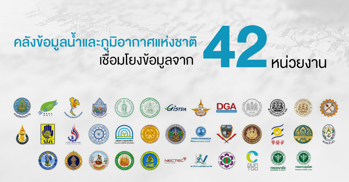
National Water and Climate Data Center
Surveying technology (Unmanned Aerial Vehicle: UAV)/ Autonomous Robot Boat/ Land Mobile Unit or Mobile Integrated Geospatial Intelligence System)
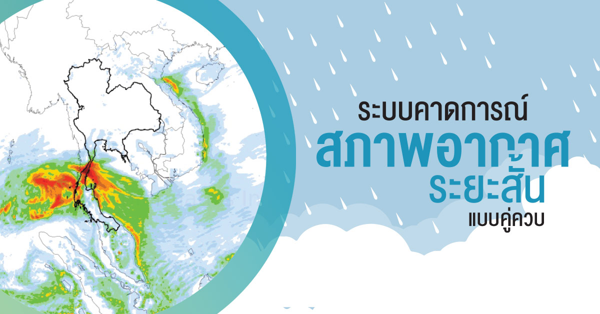
WRF-ROMS Coupled Model