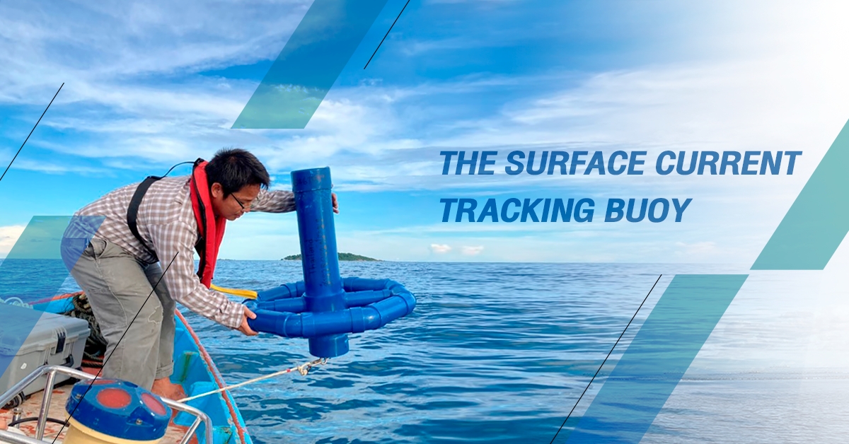
The Surface Current Tracking Buoy via Satellite System
20/03/2024
The Surface Current Tracking Buoy via Satellite System or “Krasae Samut Buoy” was developed to track water movement on the surface of the ocean. This is the first initiative in Thailand on developing marine measurement technology. This technology was designed to operate in the ocean continuously.


Picture of the Surface Current Tracking Buoy
When Krasae Samut Buoy is released into the ocean, it will receive positional coordinates via GPS satellite system and transmit it through the Iridium satellite system every 20 minutes. The accuracy of the position coordinates is ensured with a margin of error not exceeding 250 meters. Additionally, the buoy’s position can be displayed in real-time through a website.

The operation of Surface Current Tracking Buoy


The display of Surface Current Tracking Buoy result
Hydro-informatics Institute (Public Organization) or HII and Kasetsart University have applied for a patent for the Surface Current Tracking Buoy or Krasae Samut Buoy through the Department of Intellectual Property, granted on 8 September 2023.
Moreover, there is collaboration with the PTT Exploration and Production Public Company Limited in data collection for water flow tracking which can collect and create a database on oceanography and environmental for further research endeavors in the future.