HII organized a workshop on the utility of Geographic Information System (GIS) – Surveying technology for planning the Water Resource Development at Songkhla province (1st Round)
23/11/2020
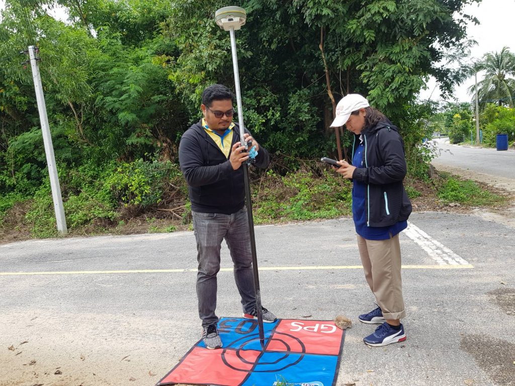
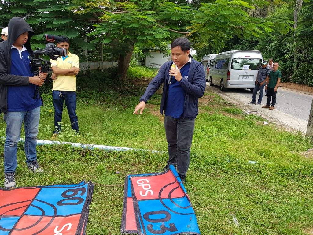
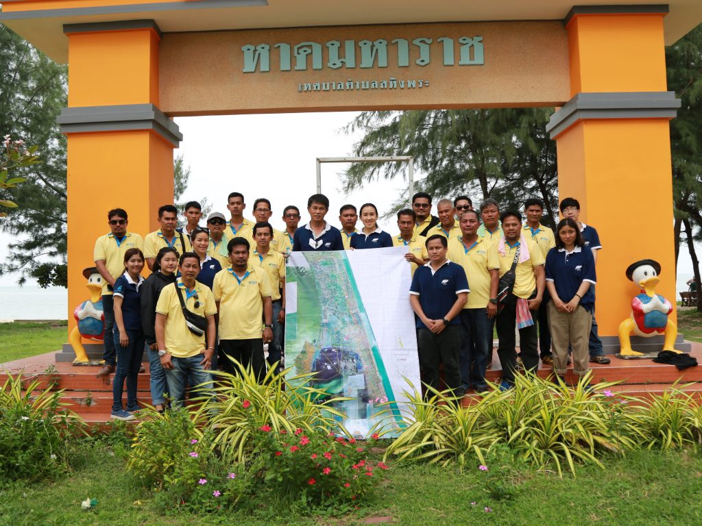
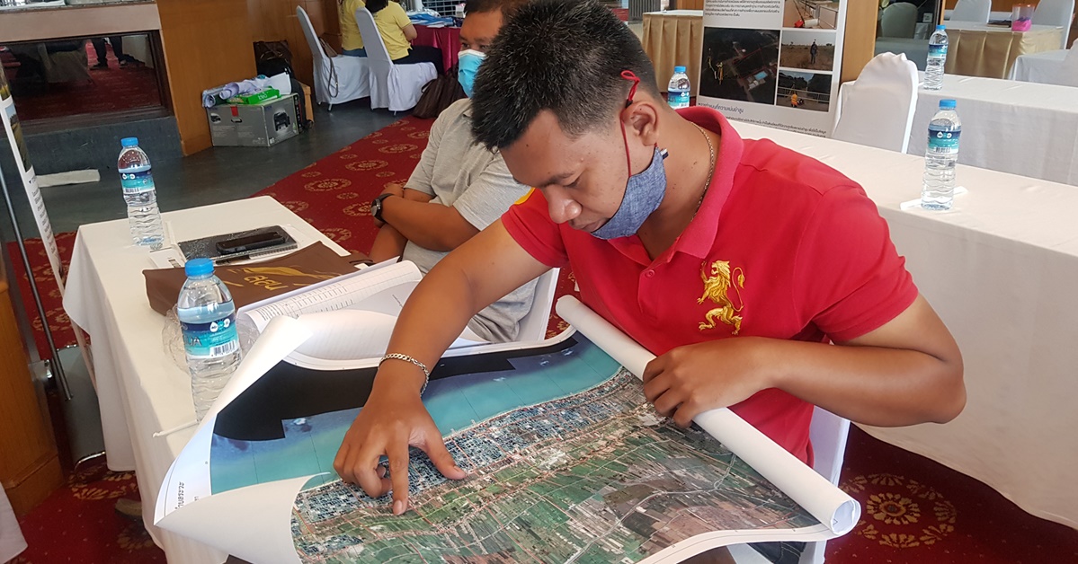
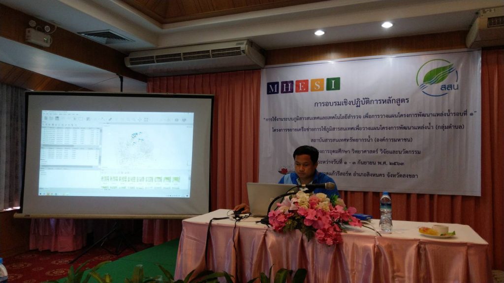
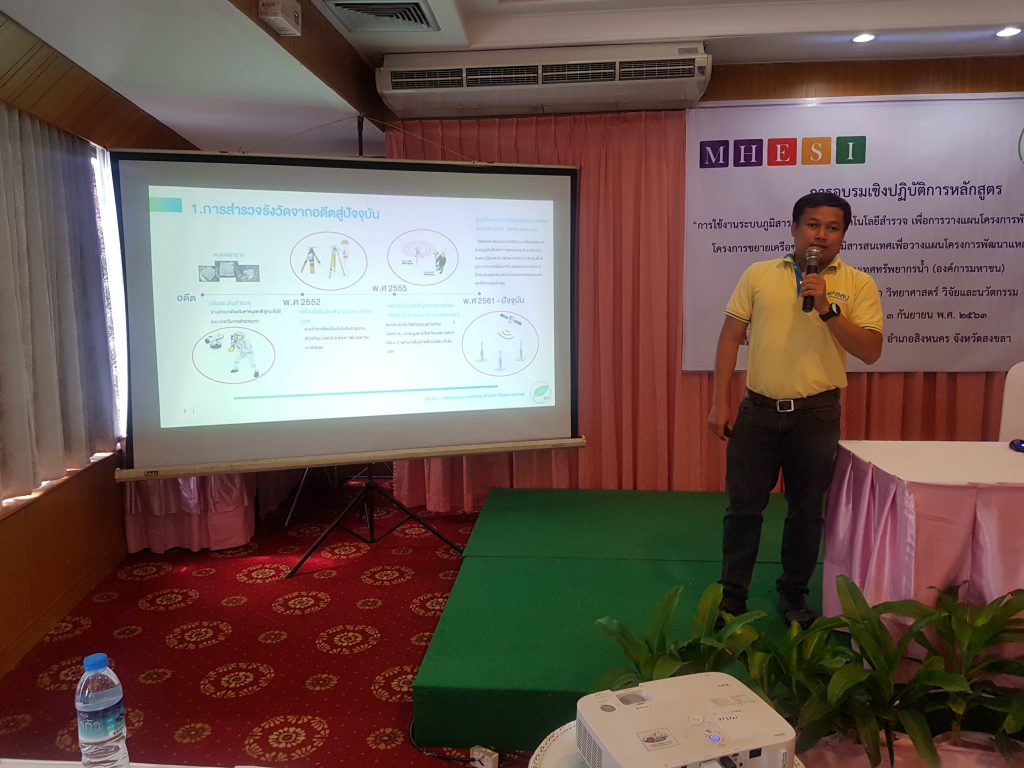
During 1-3 September 2020, Hydro-Informatics Institute or HII organized a workshop on “The Utilization of Geographic Information System (GIS) – Surveying technology for Water Resource Development Planning Project: 1st Round” as a part of GIS Network Expansion for Water Resources Development Project (Sub-district level) at Songkhla Lake Basin area. The training was run at Fueng Fah 1 Room, Haad Kaew Resort, Ching Kho District, Songkhla Province.
This project is an extension of the Development of Sub-District Geographic Information System Project whose objective is to allow local organizations to apply GIS together with Surveying technology, and also expand the utility of GIS to nearby sub-districts.
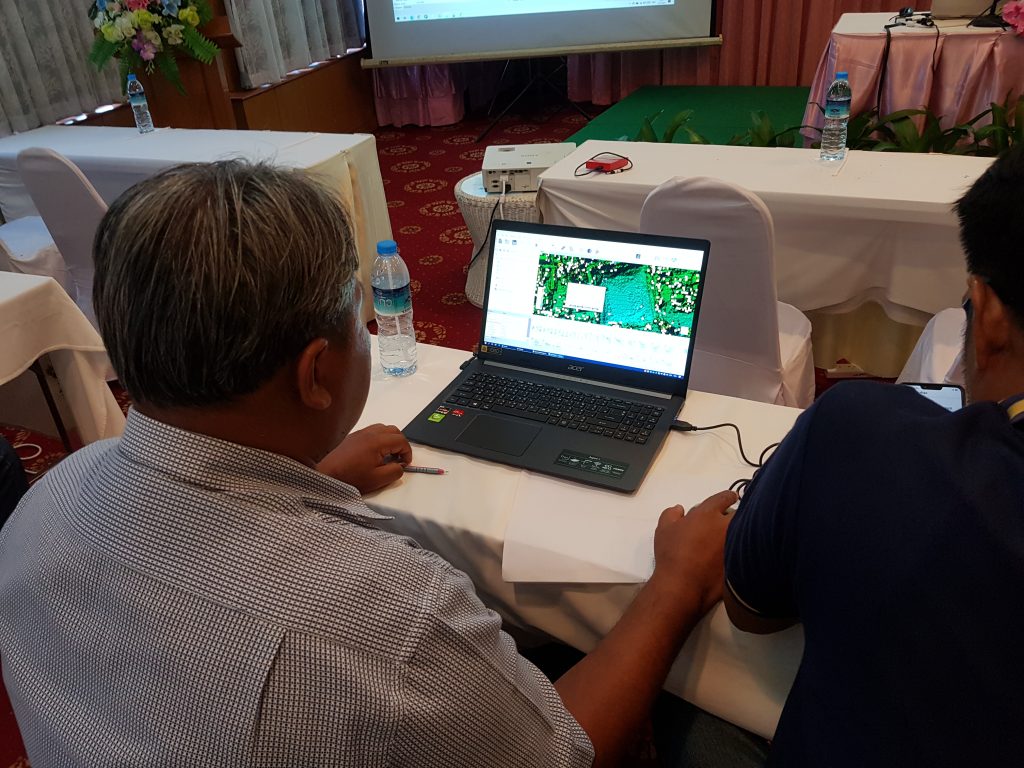
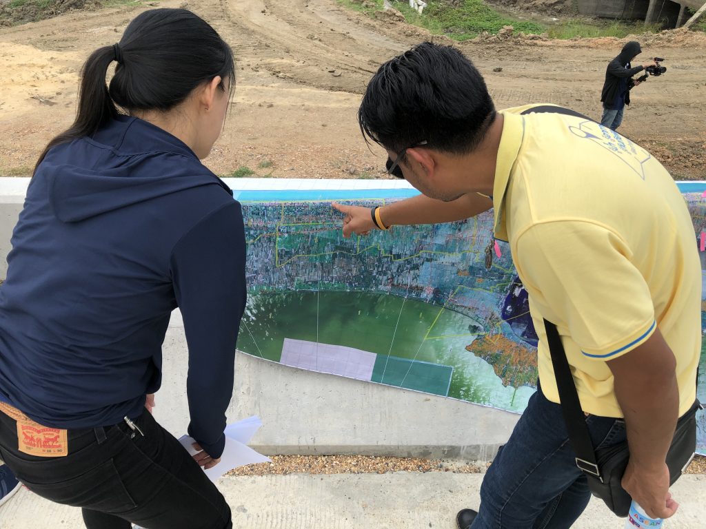
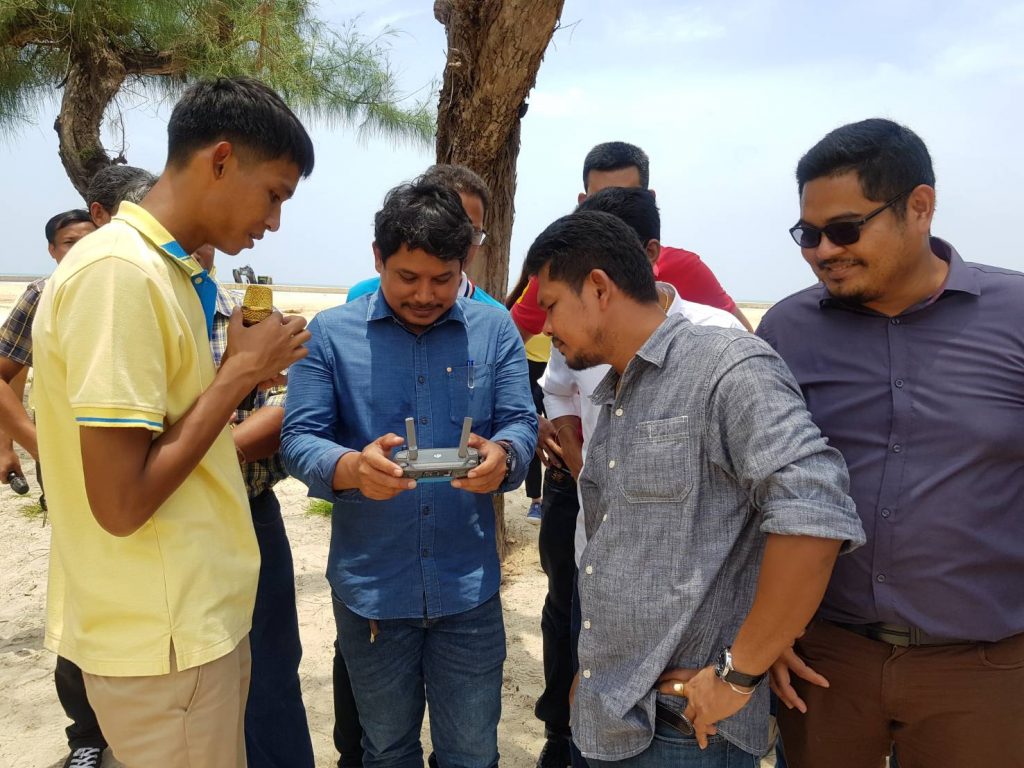
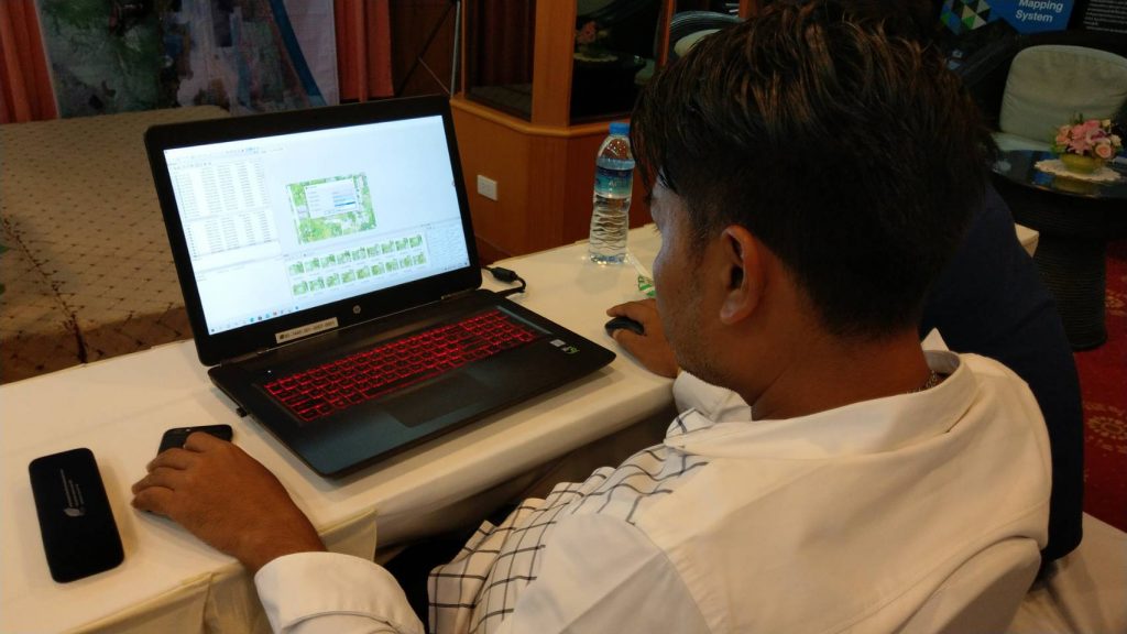
On Wednesday, 2nd September, the participants went for the field trip to learn and see the Water Supply Production at Nong Chaisorn Village under the Chumpon Sub-district Administrative Organization (SAO), Pang Chi Area under the Sathing Phra SAO, by enhancing the drainage efficiency into the Gulf of Thailand at the point of intersection between Arthit and Nang Canal under the Sanam Chai SAO and improving the water path both in-out of Khu Khut Canal under the Khu Kut SAO. Thus, on Thursday, 3nd September, the participants tried to apply the aerial photograph obtained from the Unmanned Aerial Vehicle (UAV) in a field trip in order to see an overview of the utility of Surveying technology to the discovery in the future.