Home
About Us
History
Vision & Mission
Organization Structure
Policy and Strategy
Good Governance
HII Core Values
HII Logo
FAQ
Information
News and Activities
Publications
Virtual Exhibition
Our Works
Contact Us
Communicate with us
Location and Suggestion
Complain
ประเภท
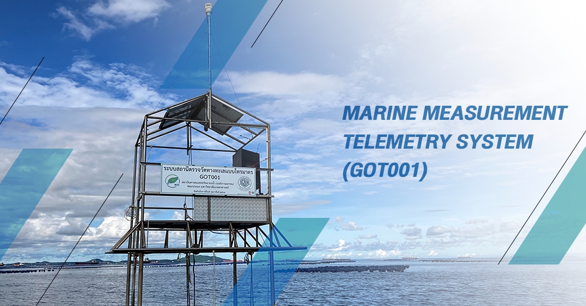
Marine Measurement Telemetry System (GOT001)
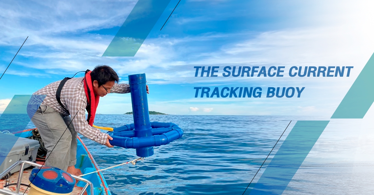
The Surface Current Tracking Buoy via Satellite System
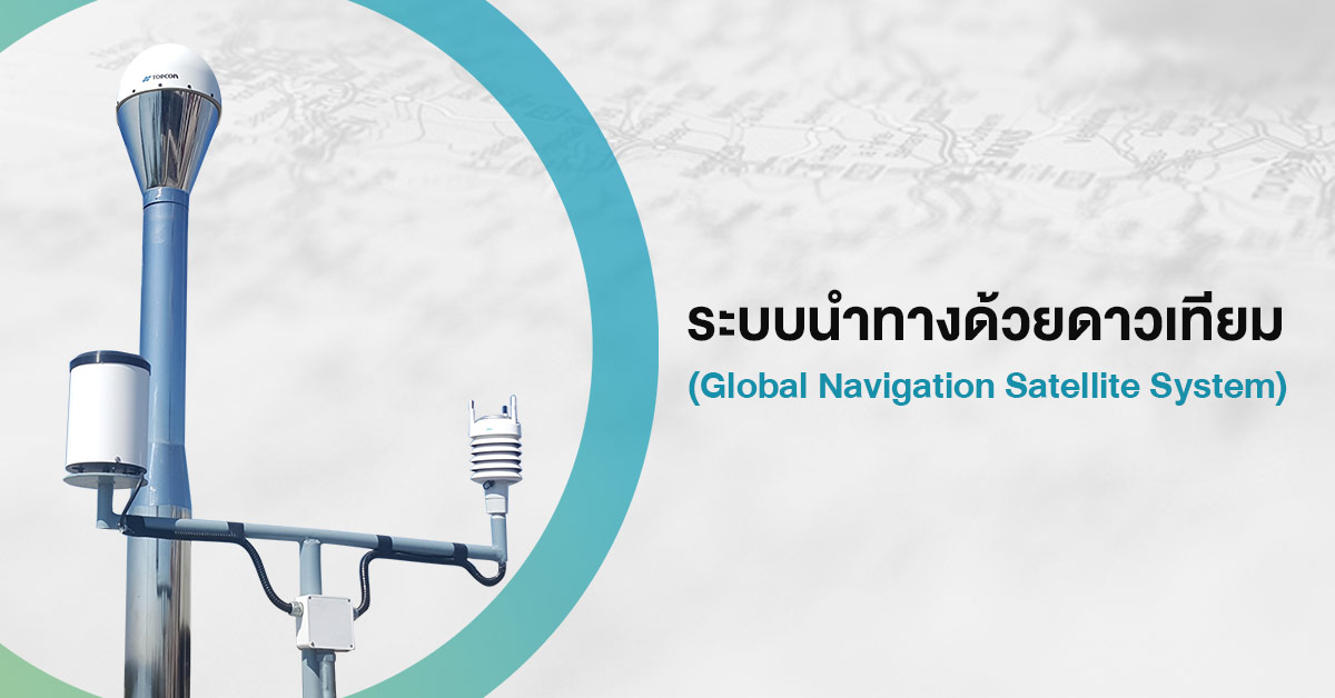
Global Navigation Satellite System
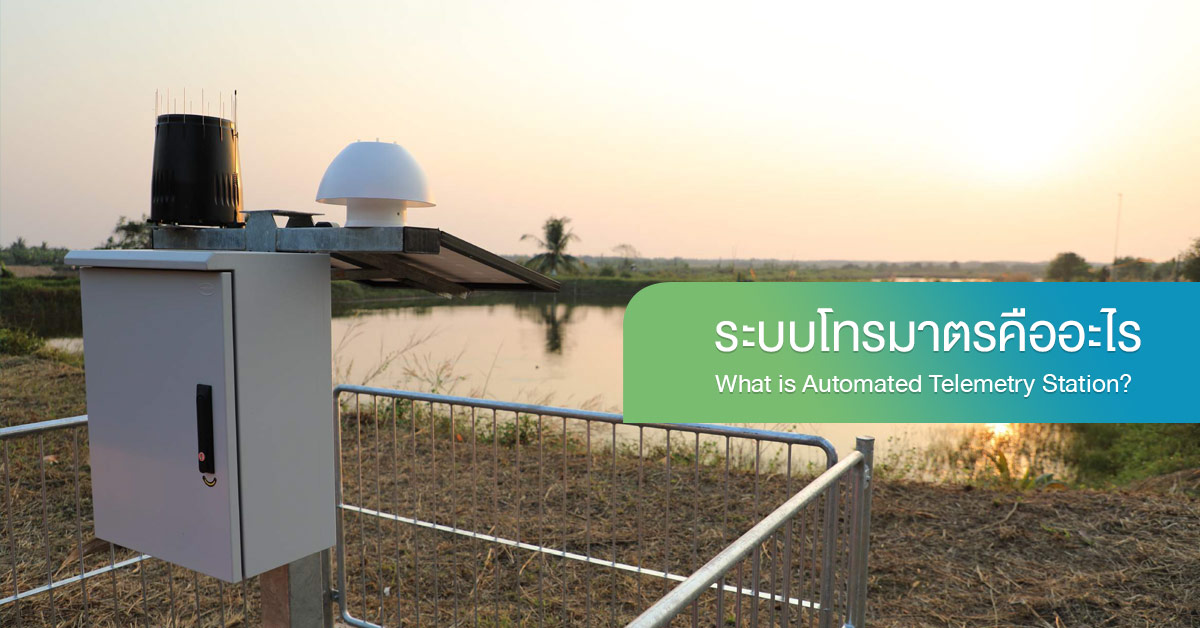
What is Automated Telemetry Station?
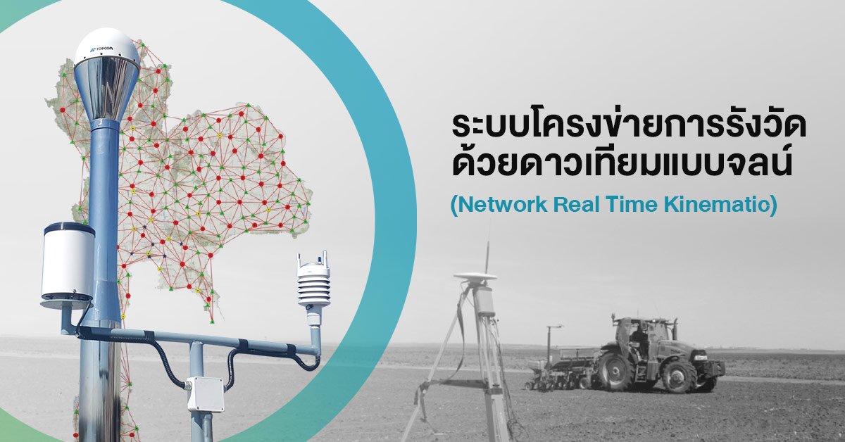
Network Real Time Kinematic for National Development
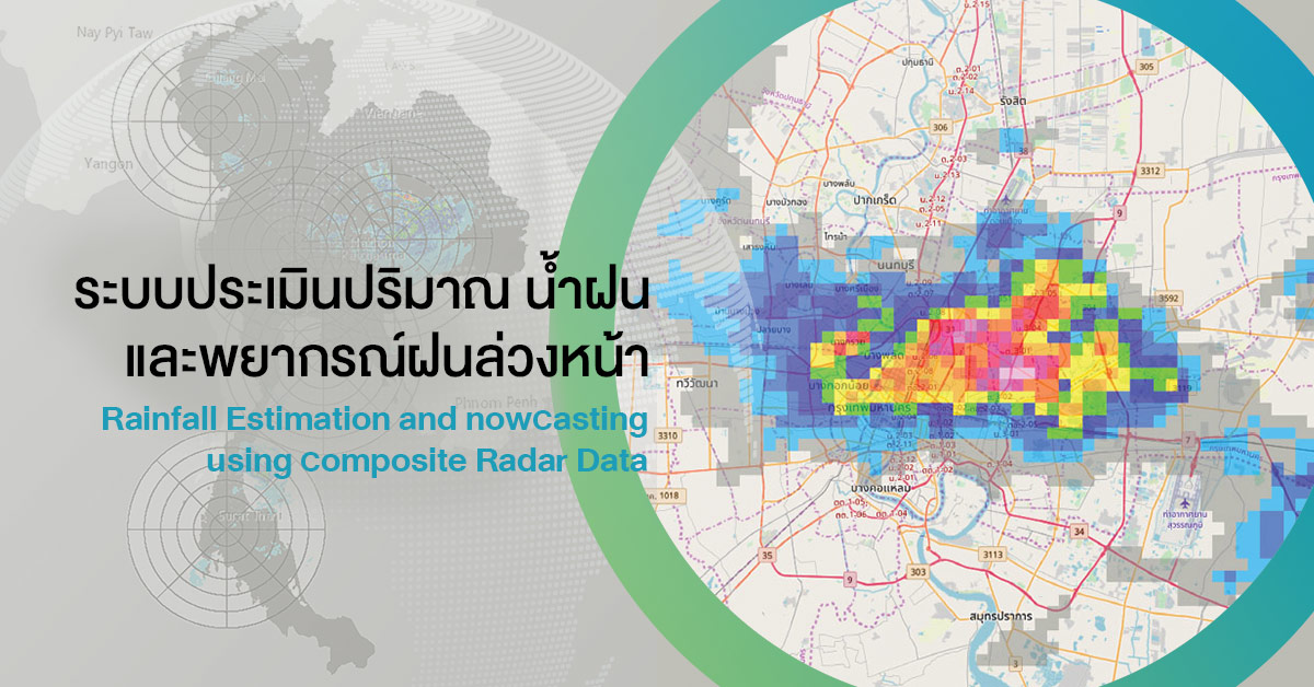
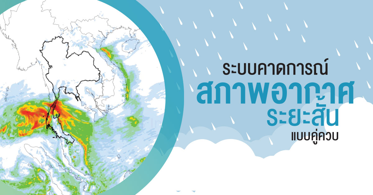
Rainfall Estimation and nowcasting using composite Radar Data
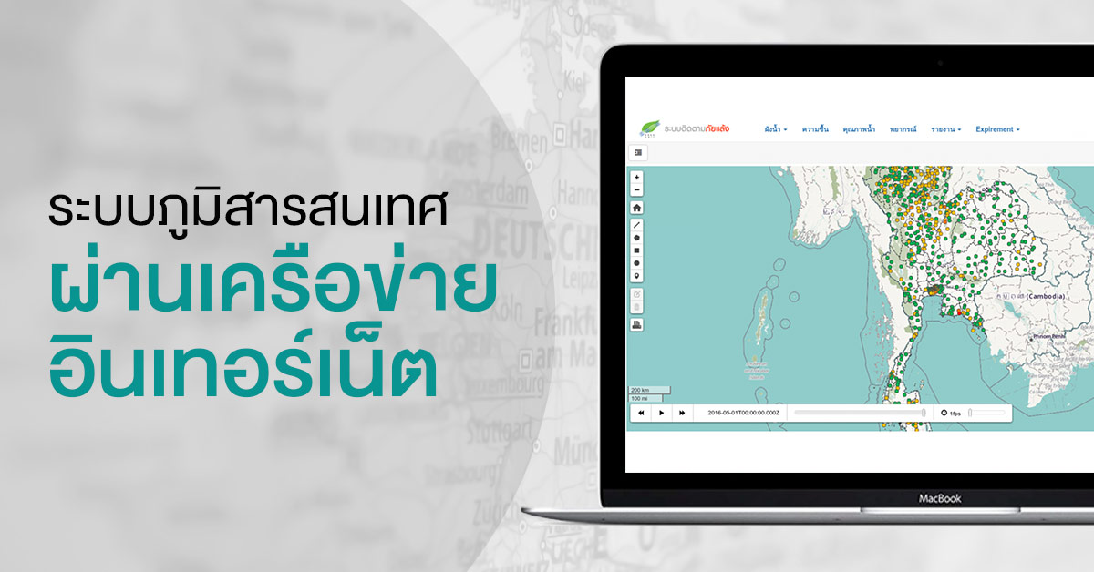
Internet GIS/MIS
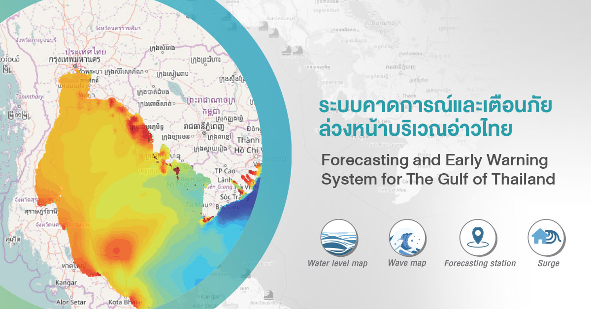
Operational Storm Surge Forecasting System
WRF-ROMS Coupled Model
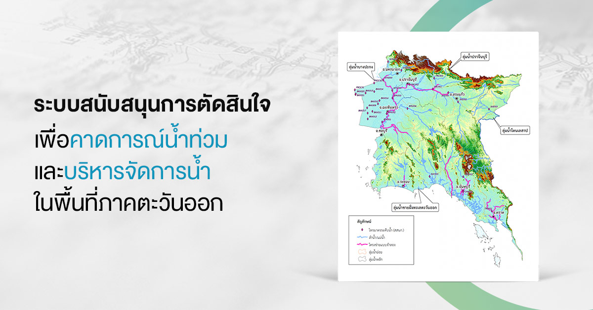
Decision Support System for Flood Forecasting and Water Management in the Eastern Area