HII organized a workshop on the utility of Geographic Information System (GIS) - Surveying technology for planning the Water Resource Development at Songkhla province (2nd Round)
01/12/2020
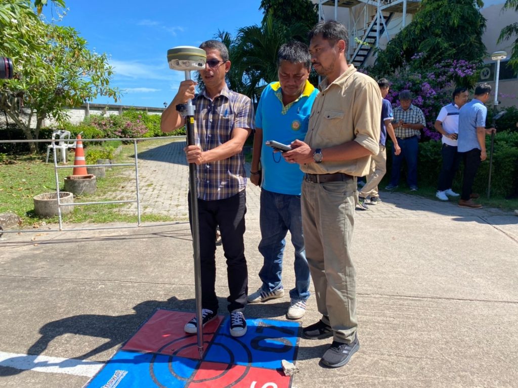
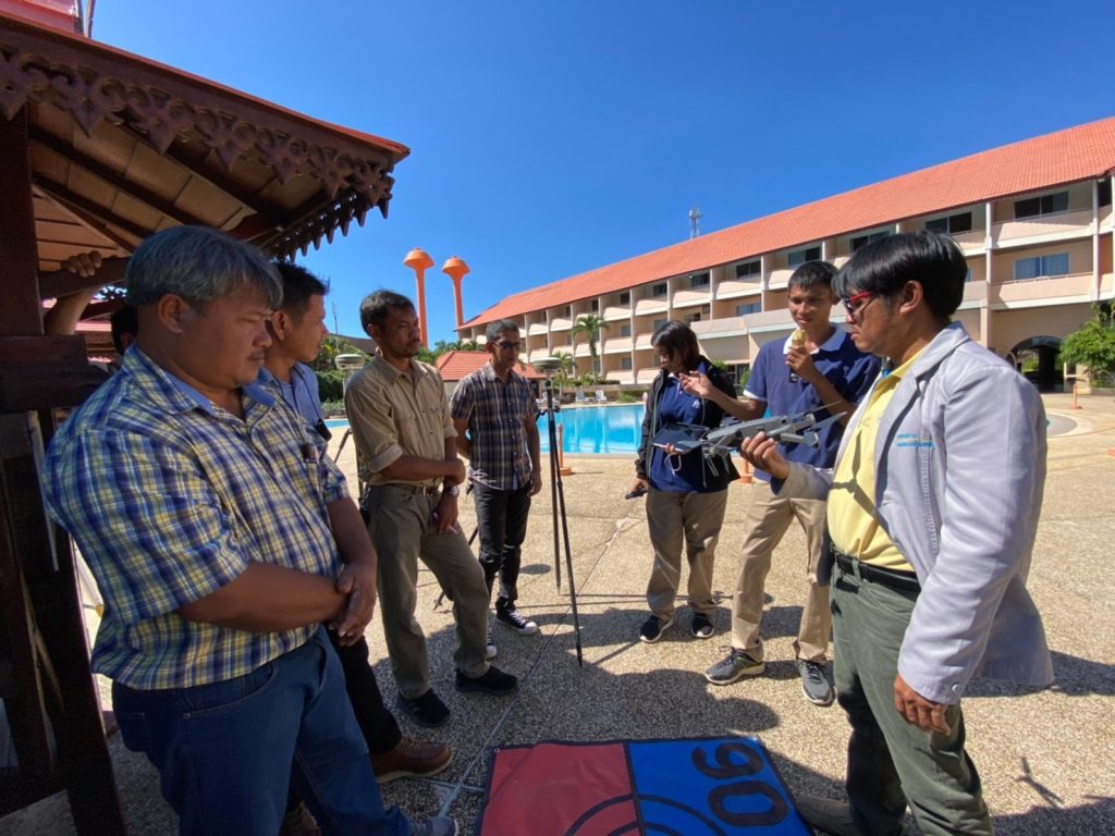
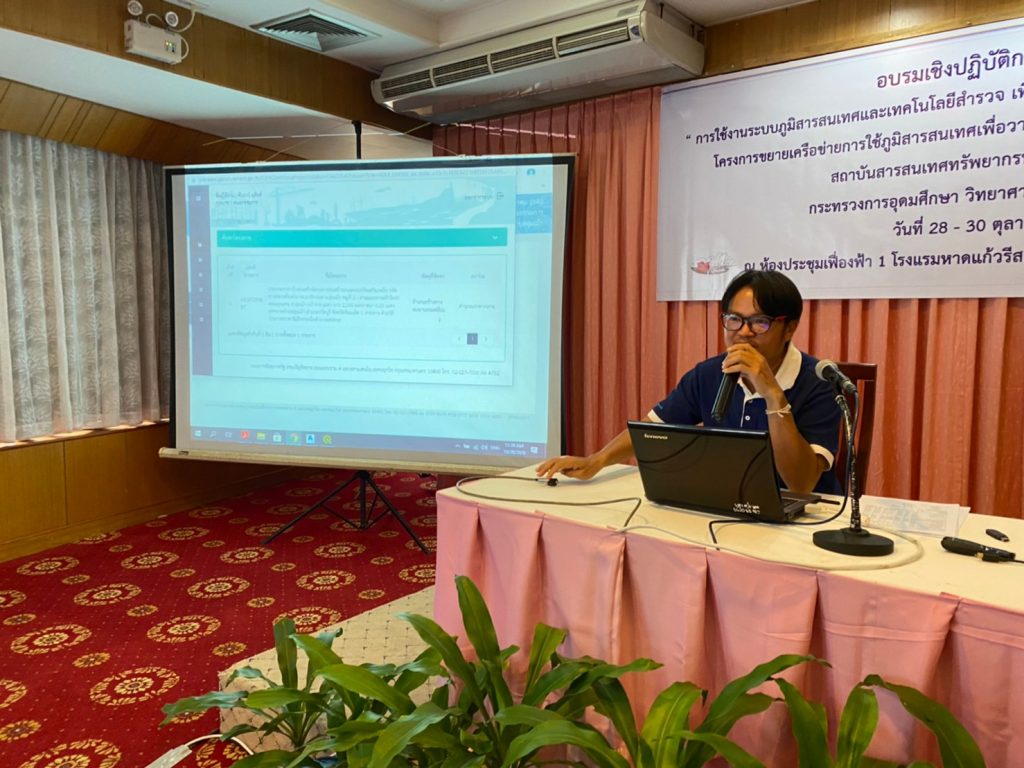
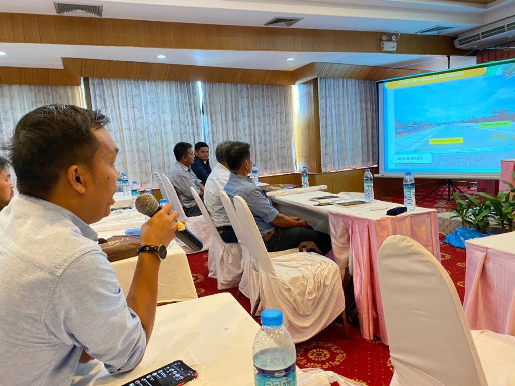
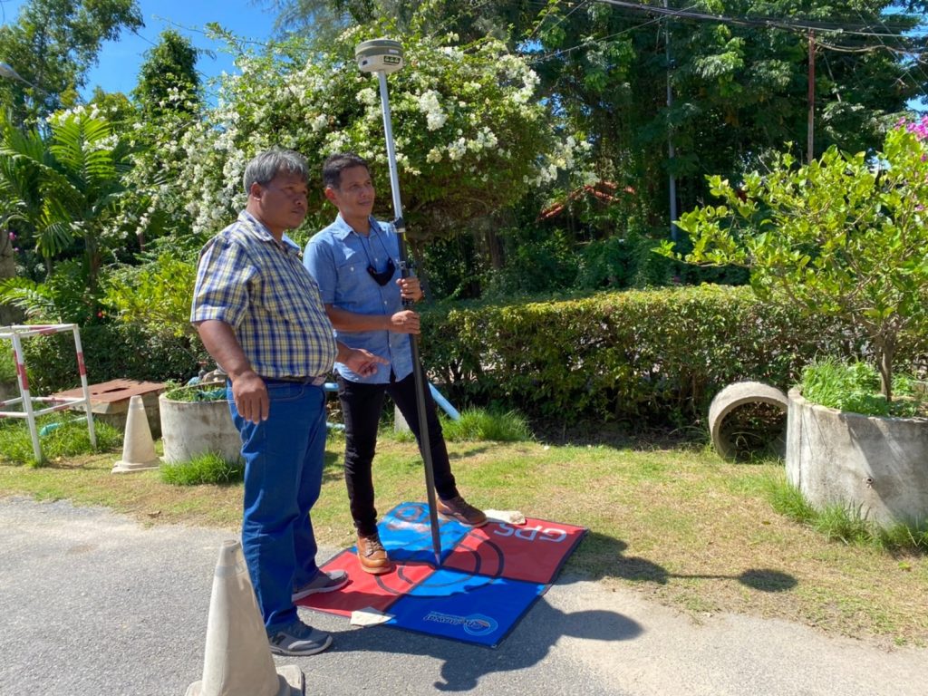
During 28-30 October 2020, Hydro-Informatics Institute or HII organized a workshop on “The Utilization of Geographic Information System (GIS) – Surveying technology for Water Resource Development Planning Project: 2nd Round” as a part of GIS Network Expansion for Water Resources Development Project (Sub-district level) at Songkhla Lake Basin area. The training was run at Fueng Fah 1 Room, Haad Kaew Resort, Ching Kho District, Songkhla Province. Focusing on application of The Geographic Information for Water Resource Development Planning in sub-district groups in Thale Noi River Basin.
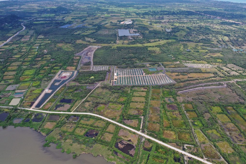
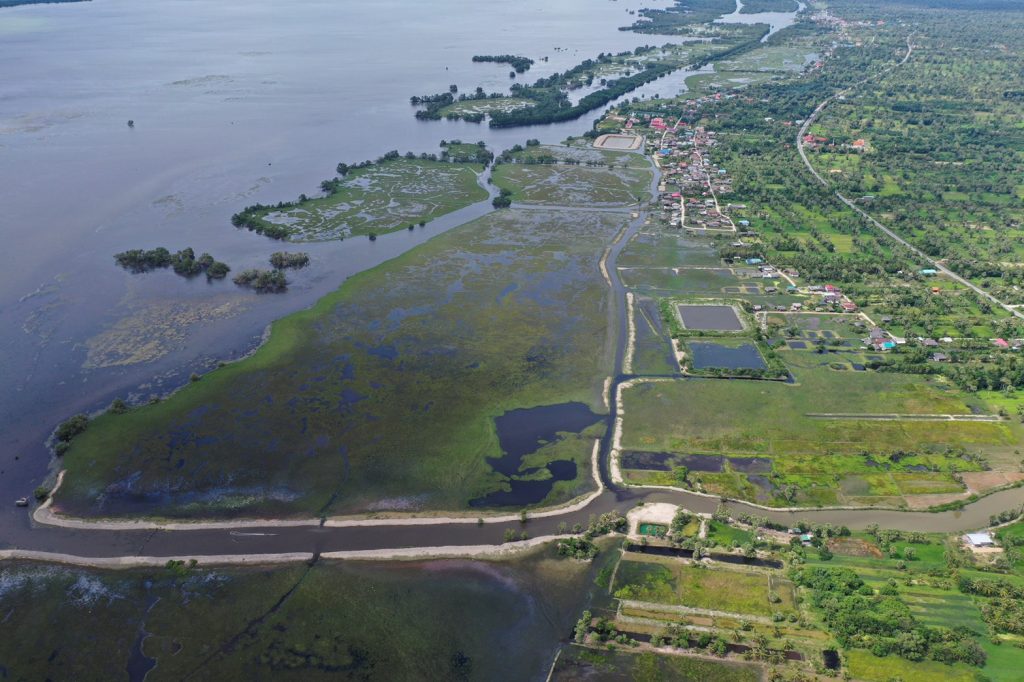
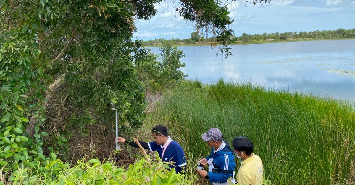
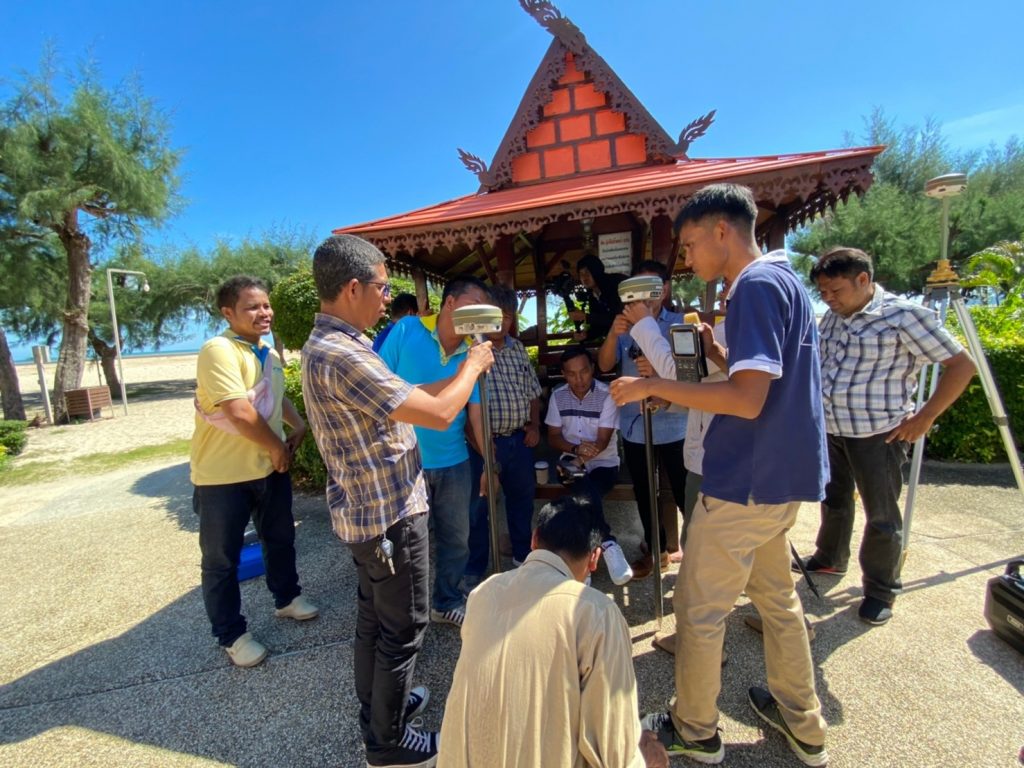
On Thursday, 29 September, the participants went for the field trip to learn and see the Water Supply Production at Nong Chaisorn Village under the Chumpon Sub-district Administrative Organization (SAO), by enhancing the drainage efficiency into the Gulf of Thailand at the point of intersection between Arthit and Nang Canal under the Sanam Chai SAO and improving in-out channel of Khu Khut Canal under the Khu Kut SAO.
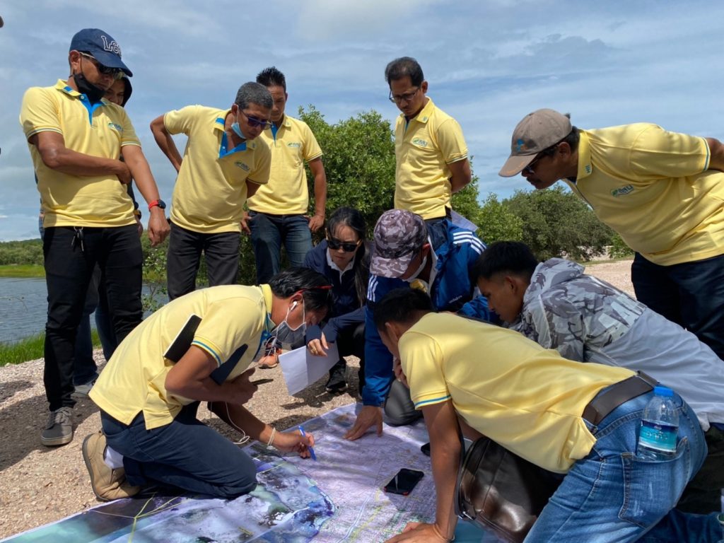
On Friday, 30 September, the participants collaboratively created “The Water Resource Development Planning of Thale Noi River Basin sub-district groups” to further expand its results and build up the government water management networks at the sub-district and district level.