HII organized a workshop on the utility of Geographic Information System (GIS) - Surveying technology for Water Resource evelopment and Planning at Khon Kaen Province
23/11/2020
On 7-9 October 2020, Hydro-Informatics Institute or HII organized a workshop on “The Utilization of Geographic Information System (GIS) – Surveying technology for Water Resource Development Planning Project: 1st Round” as a part of GIS Network Expansion for Water Resources Development Project (Sub-district level) in Chi-river basin at Lahan Na Subdistrict Administrative Organization, Waeng Noi District meeting room, Khon Kaen Province. This project is an extension of The Geomatics Information System Project in the Sub-district level.
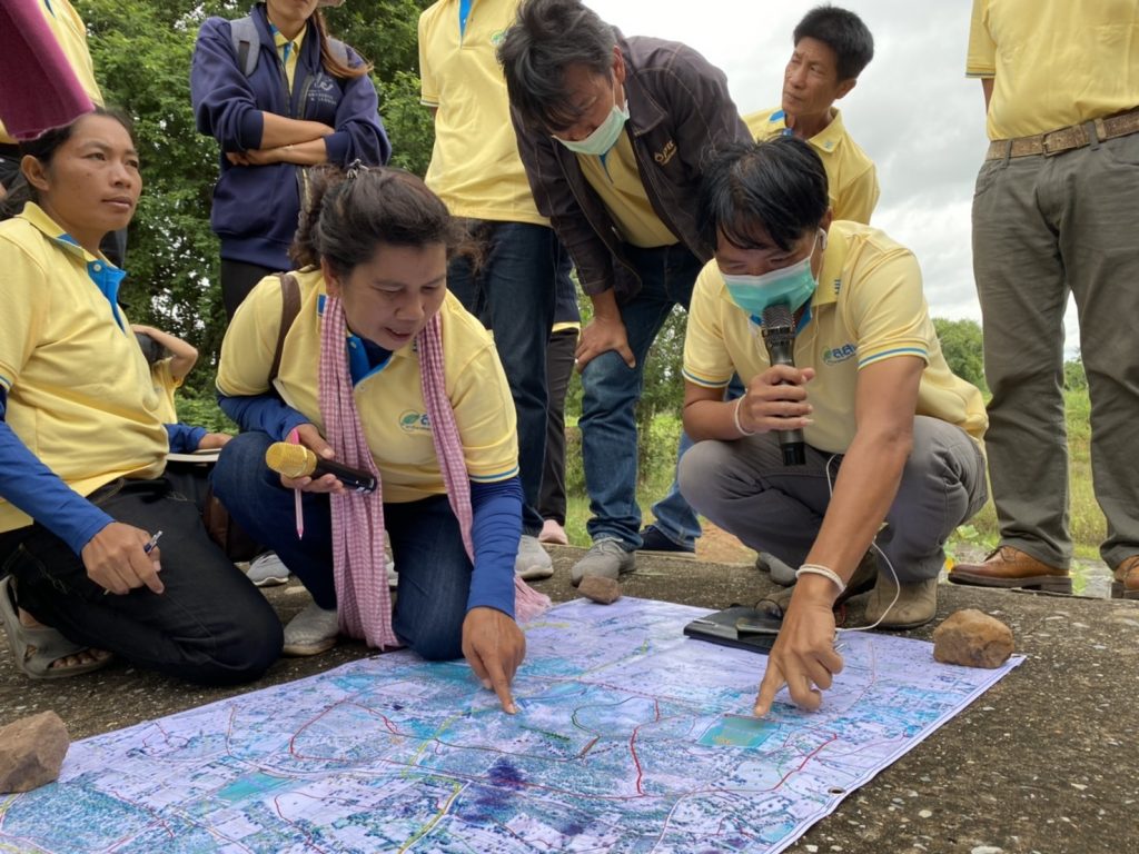
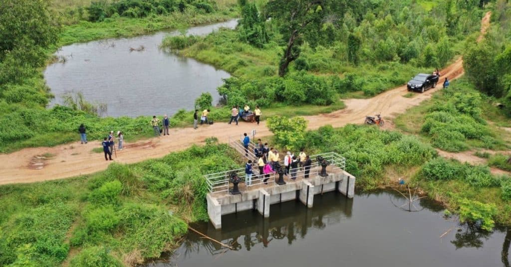
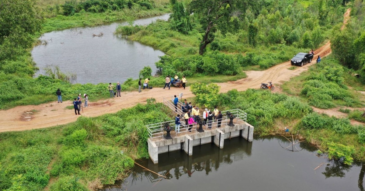
On Thursday 8 October, the participants joined a field survey at Huai Talad Tai reservoir to learn the improvement of a spillway to a zigzag concrete check dam in order to increase efficiency of the water reserve in the dry season. At Lahan Na reservoir, the development was implemented to improve water-distribution canal around the reservoir in order to drain water to Chi river during immerse flood and support using water in the farm area around the reservoir during dry season.