HII organizes a workshop on the utility of Geographic Information System (GIS) - Surveying technology for planning the Water Resource Development at Huay Dang Diao River Basin.
08/10/2020
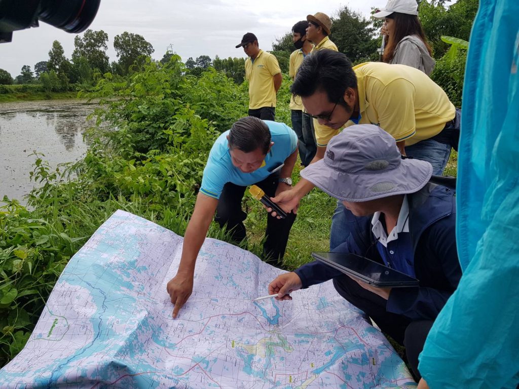
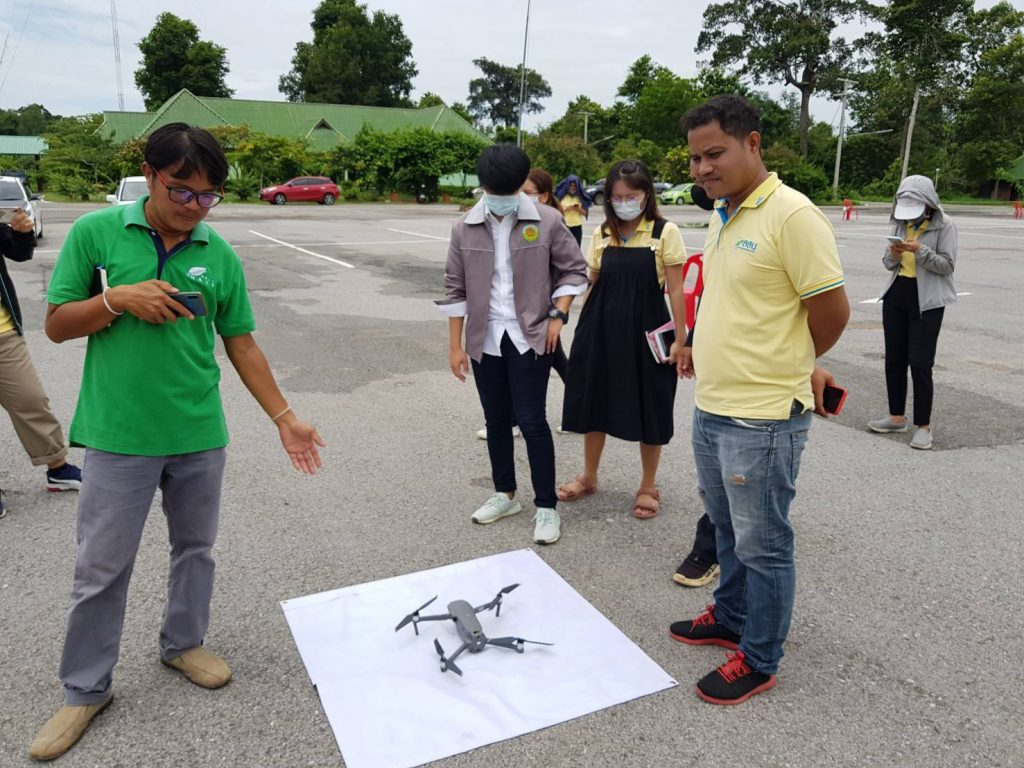
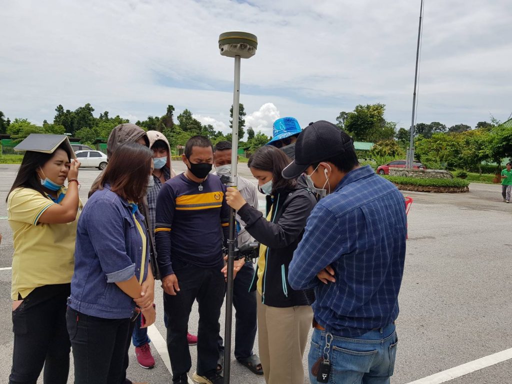
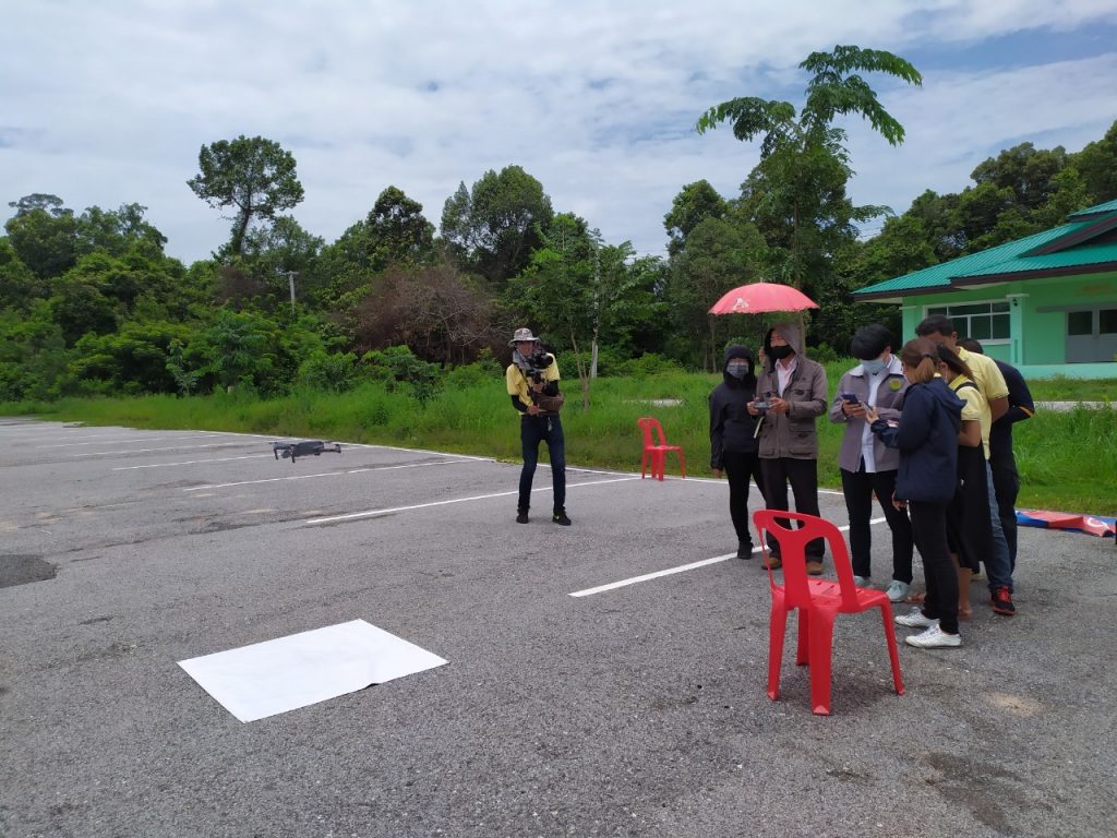
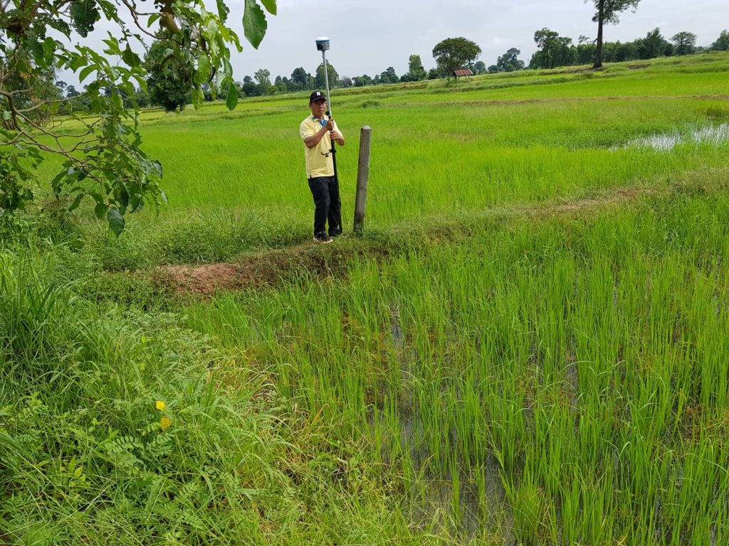
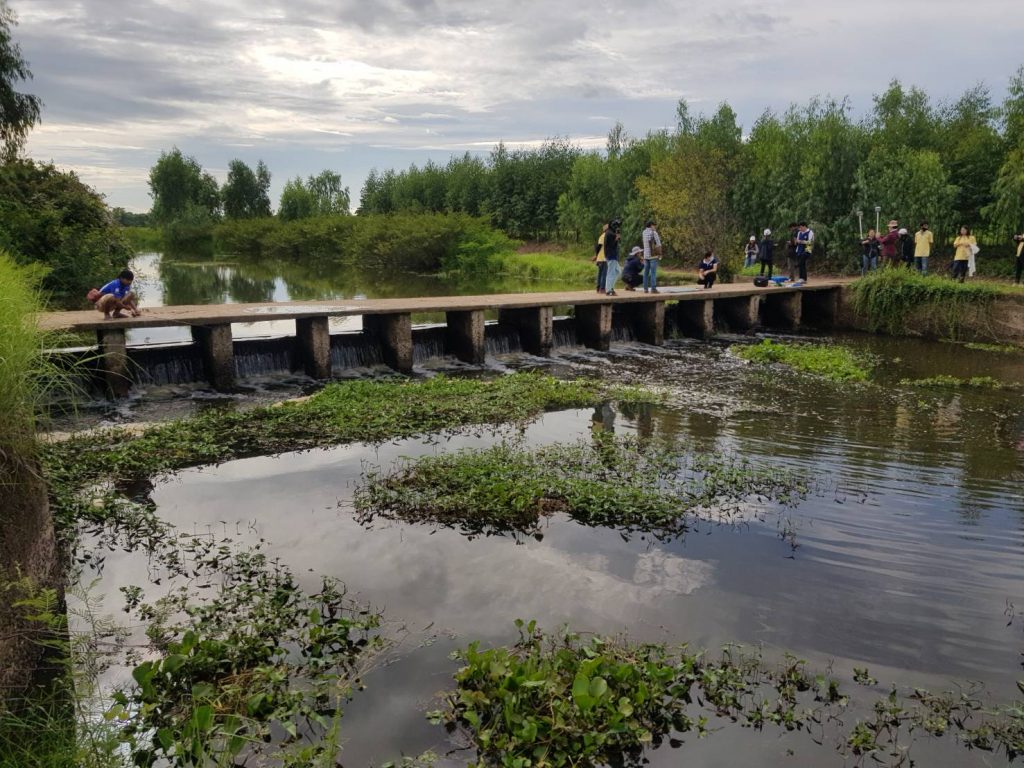
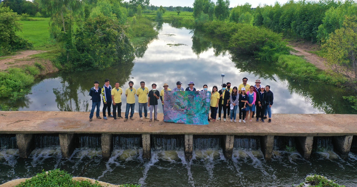
During 19-21 August 2020, Hydro-Informatics Institute or HII organized a workshop on “The Utilization of Geographic Information System (GIS) – Surveying technology for Water Resource Development Planning Project: 1st Round” as a part of GIS Network Expansion for Water Resources Development Project (Sub-district level) at Huay Dang Diao River Basin Group. The training was held at Thawat Buri Wildlife Breeding Center’s Meeting Room, Thawat Buri District, Roi Et Province.
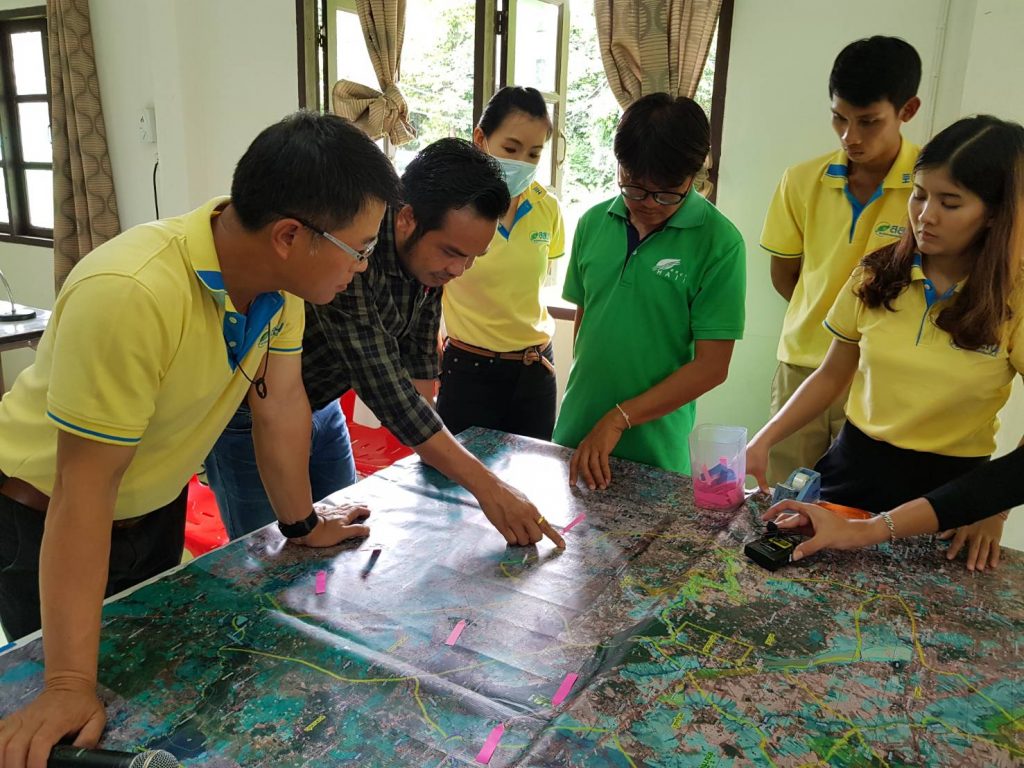
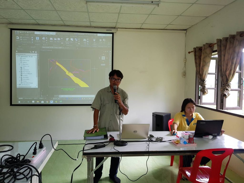
This project is an extension of the Sub-District Water Map Project whose objective is to allow local organizations to apply GIs data together with Surveying technology, and expand the utility of GIS to nearby sub-districts.