HII organized a workshop on the utility of Geographic Information System (GIS) – Surveying technology for Water Resource Development and Planning at Hauy Kra Dern River Basin Community
23/11/2020
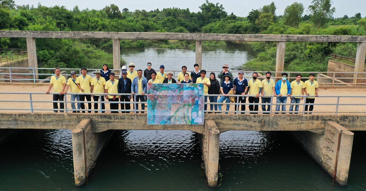
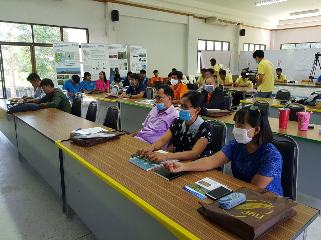
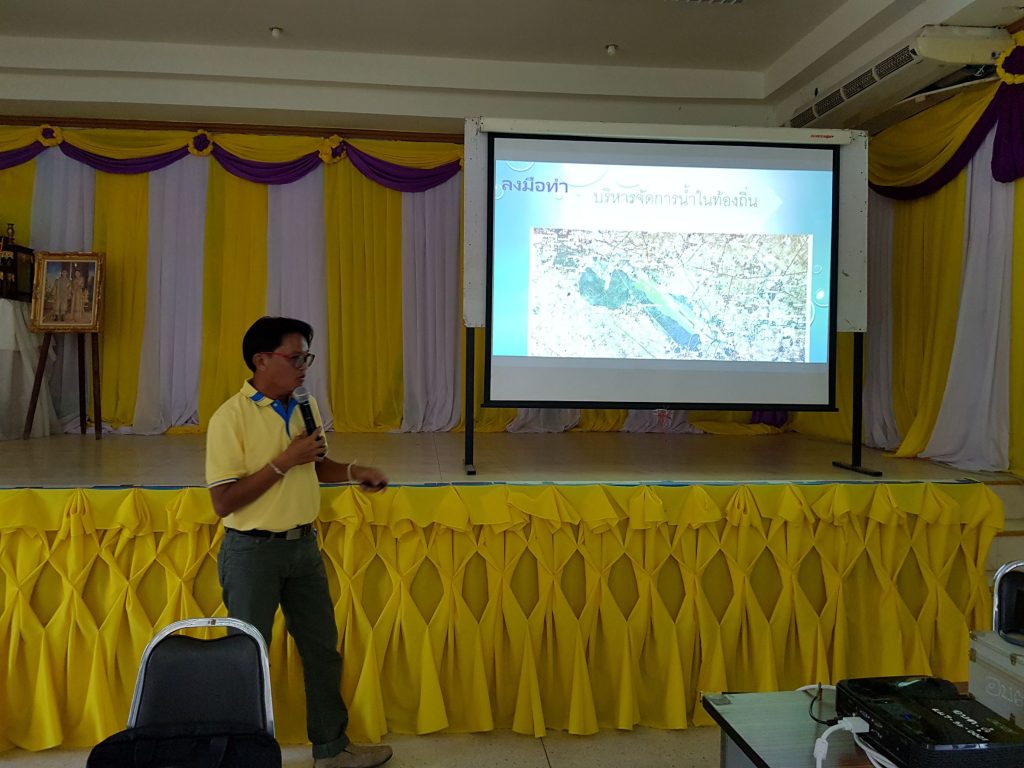
During 16-18 September 2020, Hydro-Informatics Institute or HII organized a workshop on “The Utilization of Geographic Information System (GIS) – Surveying technology for Water Resource Development Planning Project: 1st Round” as a part of GIS Network Expansion for Water Resources Development Project (Sub-district level) at Hauy Kra Dern River Basin Community. The training was held at Doo SAO Meeting Room, Kantharom. District, Si Sa Ket Province.
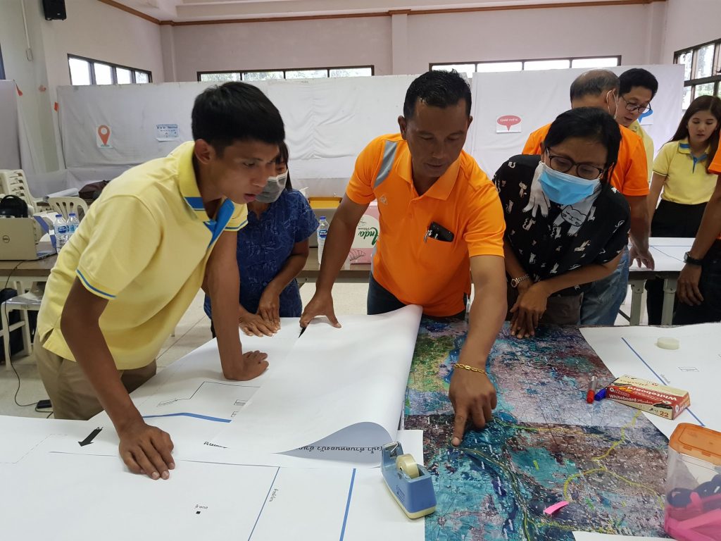
This project is an extension of the Sub-District Water Map Project whose objective is to allow local organizations to apply GIs data together with Surveying technology, and expand the utility of GIS to nearby sub-districts.
On Thursday, 17 September, the participants went for the field trip to learn and see Huay Ma Roo check dam which increases the efficiency of water retention in the dry season at Doo Sub-district Administrative Organization (SAO). Moreover, they renovated the Baan Pha Neang water gate, under Jan SAO, to a zig zag concrete check dam for storing water in the dry season.
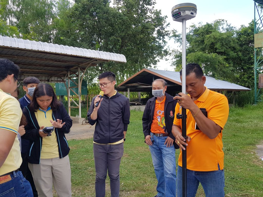

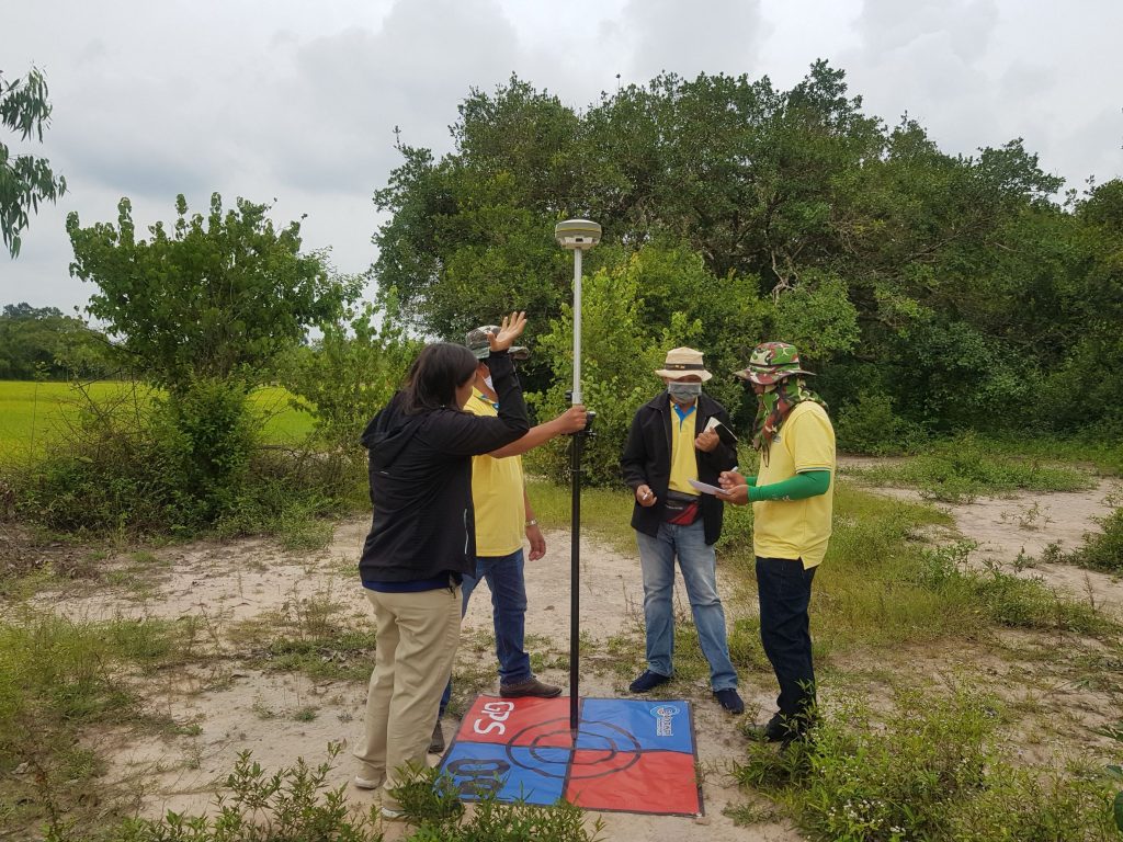
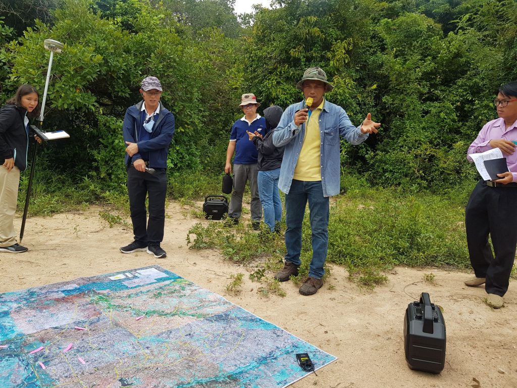
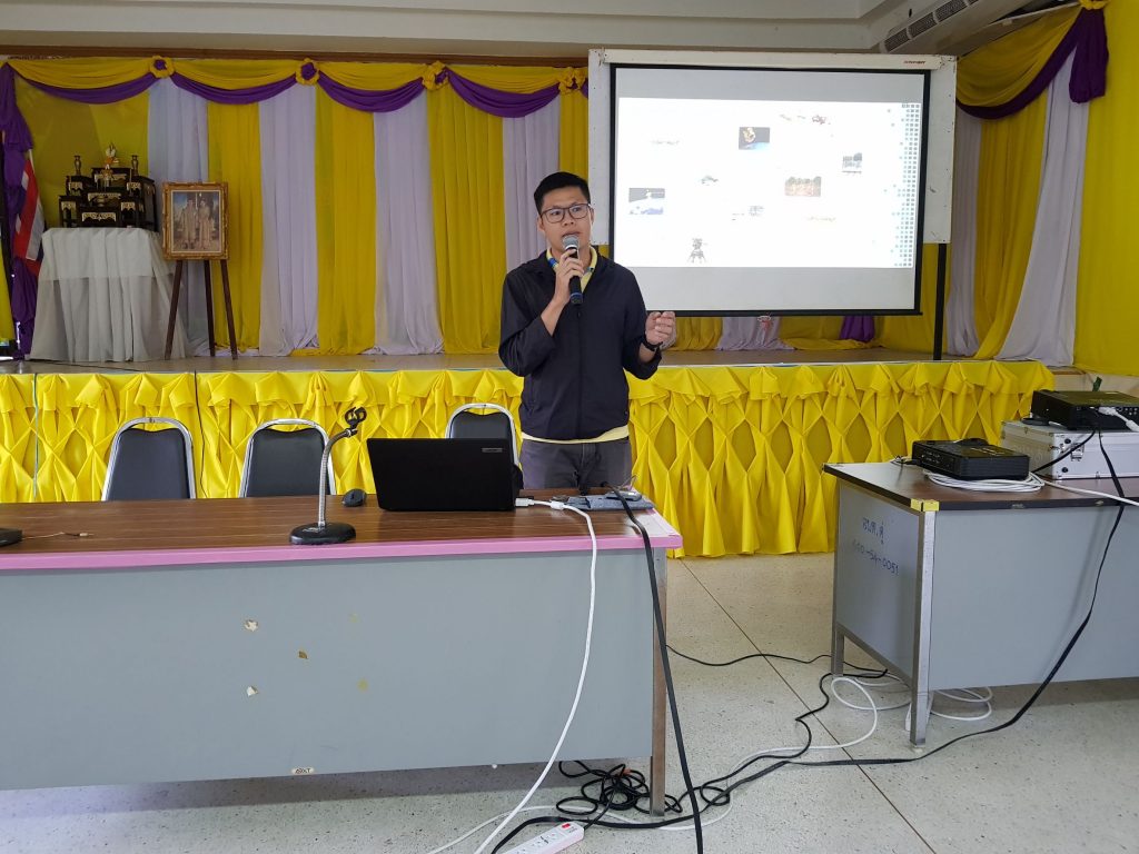
On Friday, 18 September, the participants tried to apply the aerial photograph obtained from the Unmanned Aerial Vehicle (UAV) in a field trip in order to see an implementation of the surveying technology in action.