
Network Real Time Kinematic for National Development
National development needs geographic information or data map which is precise and up to date. Developed Countries already use GNSS: Global Navigation Satellite System by using GNSS Continuously Operating Reference Station or GNSS CORS for the horiz...
Read more
Rainfall Estimation and nowcasting using composite Radar Data
Rainfall Estimation and nowcasting system use composite Radar Data which covers northern, eastern, central, northeastern, and southern Thailand. The Radar system enable real-time monitoring and forecasting overall water situation of the country....
Read more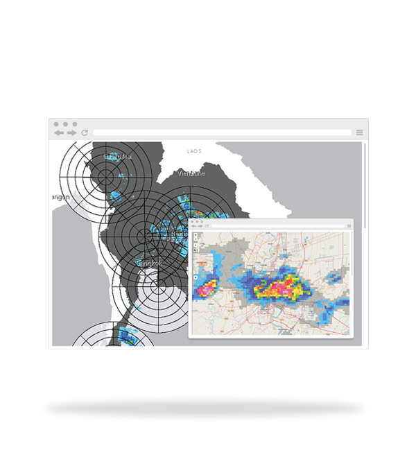
Internet GIS/MIS
Internet Geographic Information System (GIS)/ Management Information System (MIS) Internet GIS/MIS is an application of internet and data system to manage Geographic Information System (GIS). The information will be used to manage, analyze, and ...
Read more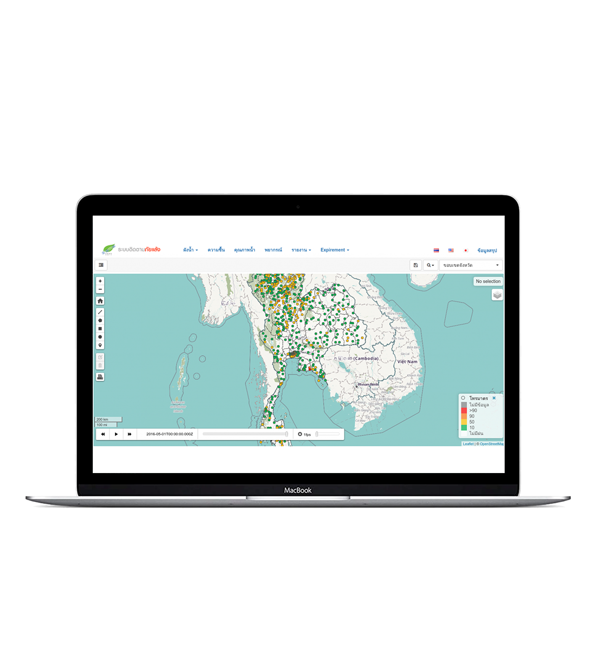
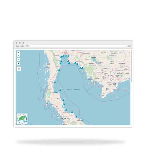
Operational Storm Surge Forecasting System
Forecasting and Early Warning System for the Gulf of Thailand consists of following models: The Delft3D Flexible Mesh hydrodynamic model (Delft3D FM) SWAN wave model The operational platform is based on Delft- Flood Early Warning Syst...
Read more