2019: Technology Transfer for Community Water Resources Management Project
22/07/2021
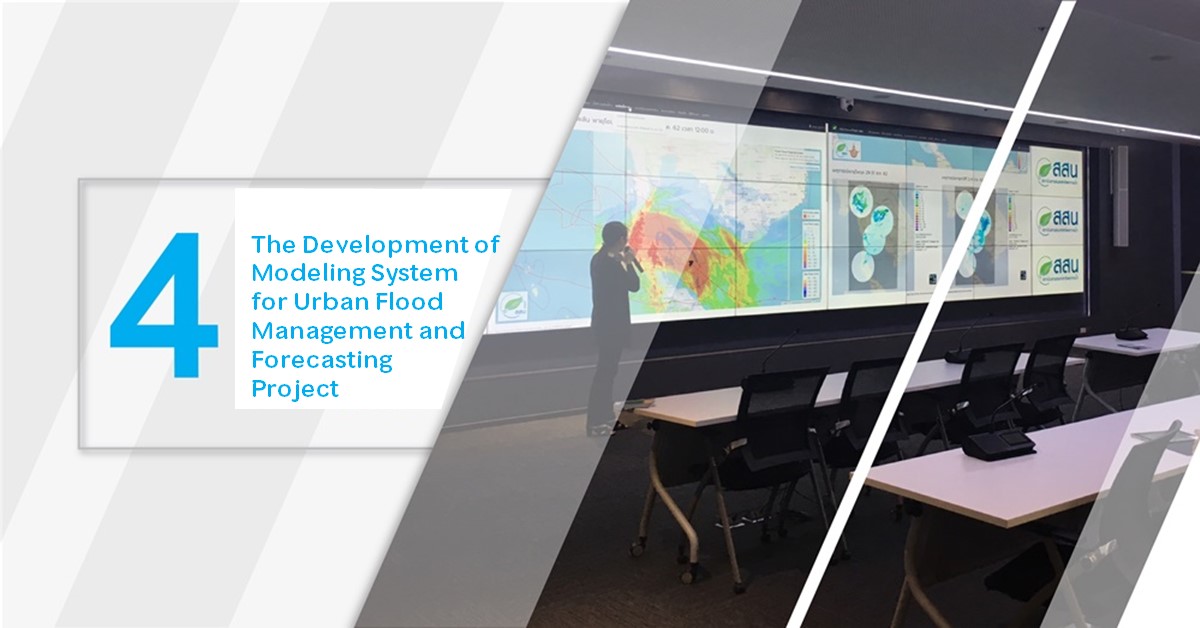
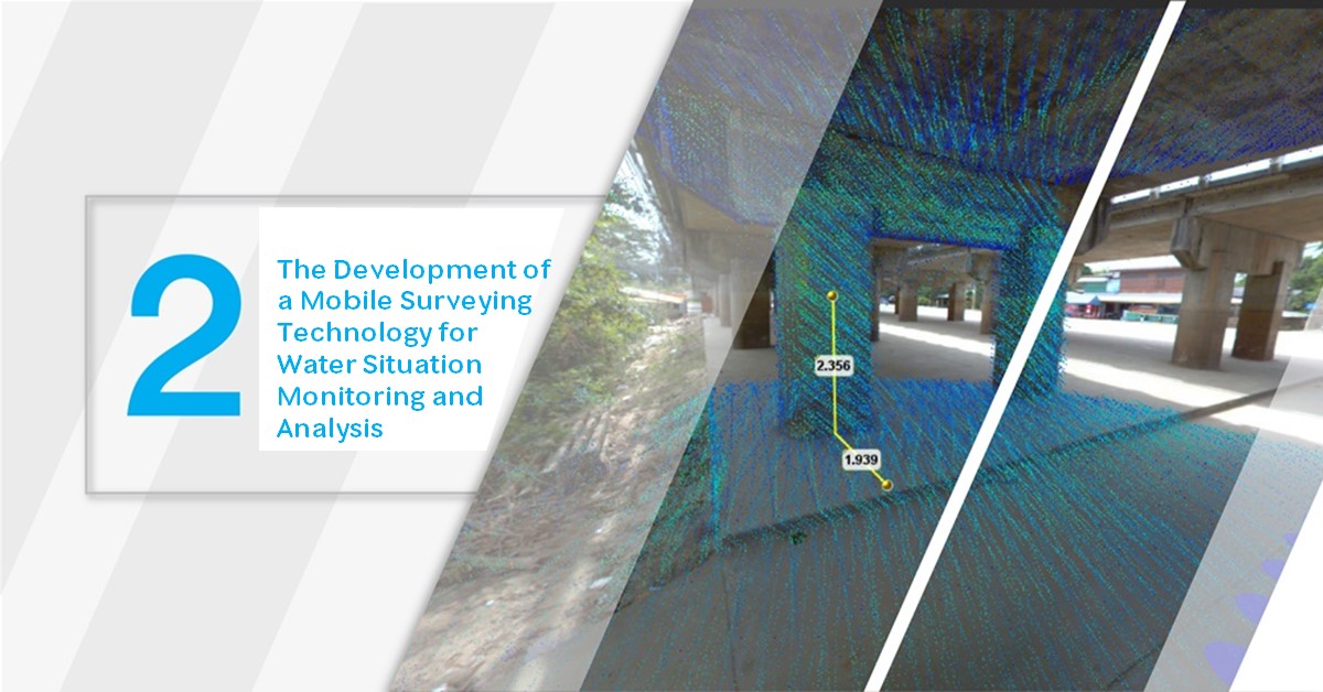
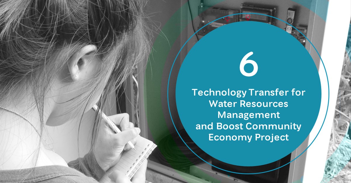
2019: Technology Transfer for Water Resources Management and Boost Community Economy Project
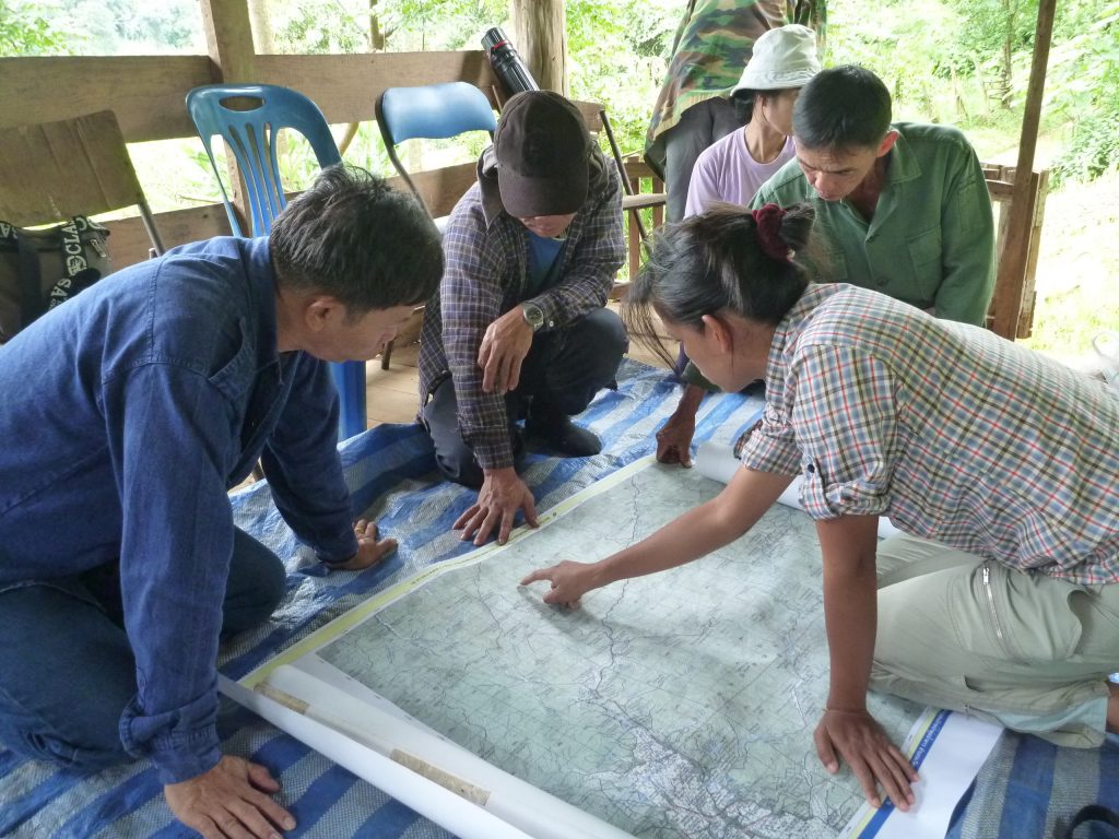
Hydro-Informatics Institute (HII) has continuing developed science and technology knowledge for water resources management and preparation for climate change adaptation. HII has expanded their successful outcome by building and developing the group of Core Community for community water resources management and sub-district level water map. This led to the creation of sub-district water resources data and water maps to support local operation, monitoring, analysis, and forecasting for prompt response in either normal or crisis.
From the above continuous development, HII has created many good examples of S&T adaptation for water resources management at the national, provincial, and local levels. The people involved in this project can self-manage, plan, and develop their water resources and infrastructures according to their geosocial. This pilot group can also expand their learning to the nearby community, promote the use of water monitoring information and local database, and support information for decision making at the policy level. This initiative strengthens local capacity on the use of S&T to develop area-based water data, maps, diagrams that can be applied to develop community water resources.

At present, HII has more than 60 good practices communities in 19 river basins, covering 1,478 villages. Last year, this implementation concept has raised the average income of this group beyond the poverty line (more than 2,667 THB/person/month), reserved more than 54 MCM of water, reduced flood and drought impact of more than 353,500 households, and increase agricultural product value in dry season over 3,140 Million THB.
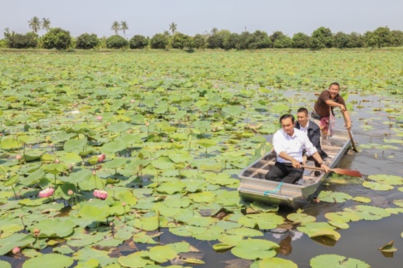
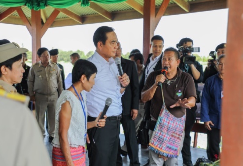
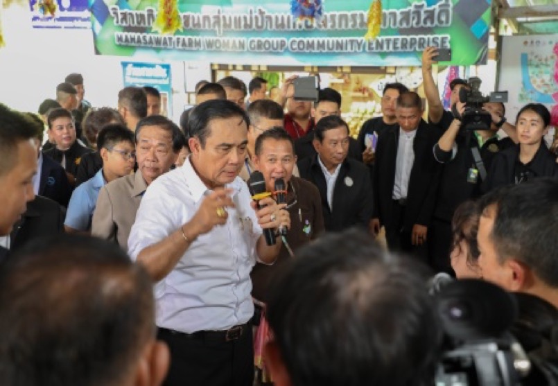
General Prayuth Chan-ocha, Thailand Prime Minister, visited the Good Practices Site on 4 Water-related Problem Manageent and New-Theory Agriculture (Integrated Agriculture) at Saladin Community, Mahasawat sub-district, Phutthamonthon district, Nakhon Pathom Province
Good Practices Community: Conserved-Forest Lao River Basin Community Network, Wiang Pa Pao District, Chiang Rai Province
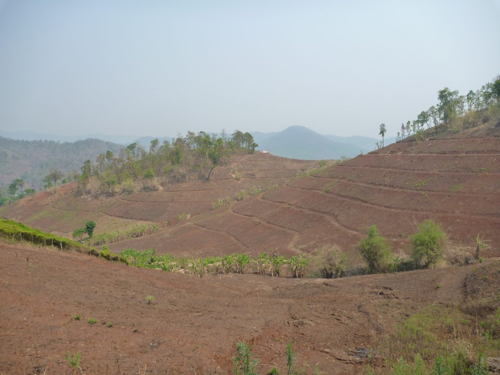
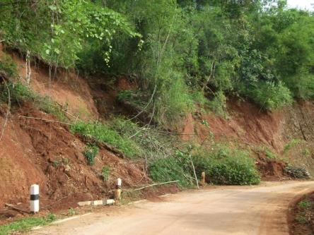
The Lao River Basin Network faced repetitive flash floods, landslides, and shortages of consumption water for more than 20 years as a result of natural resources destruction, ecosystem deterioration, wildfire, monoculture, and chemical use in the upstream forest.
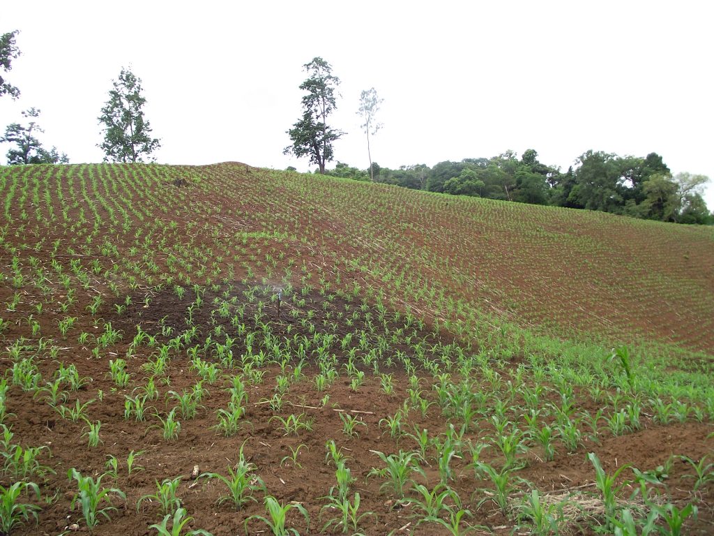
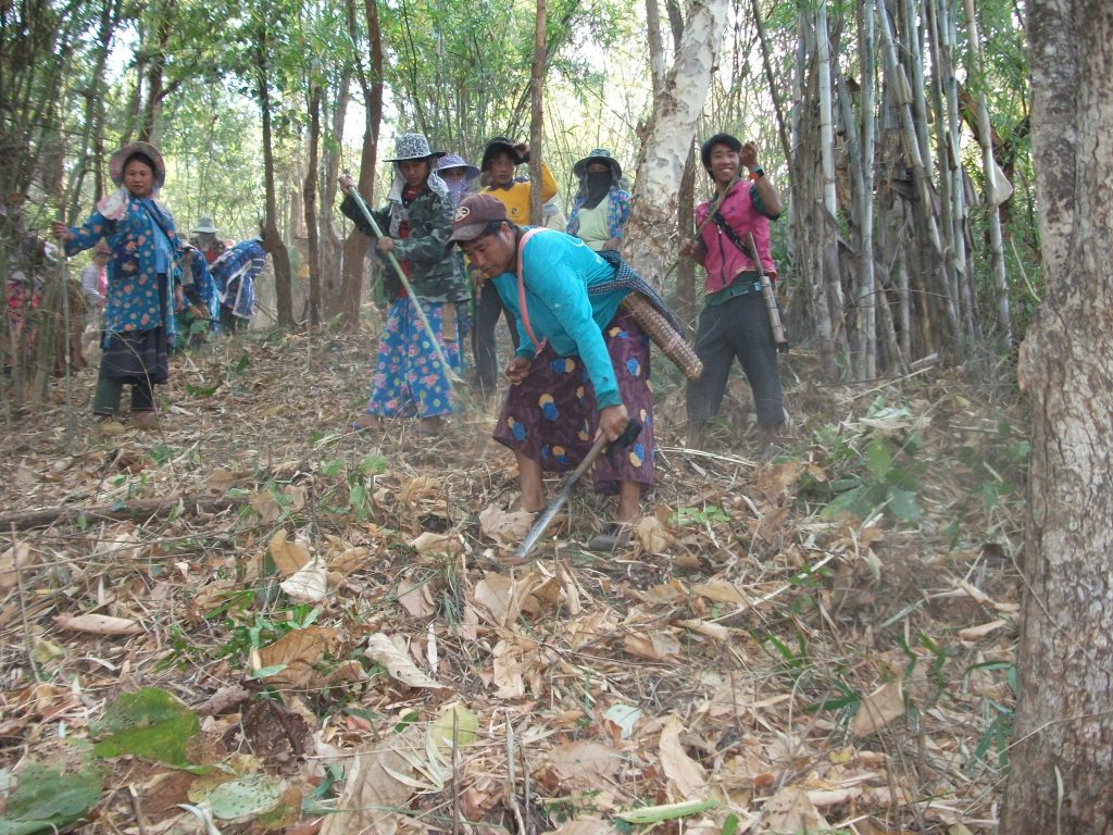
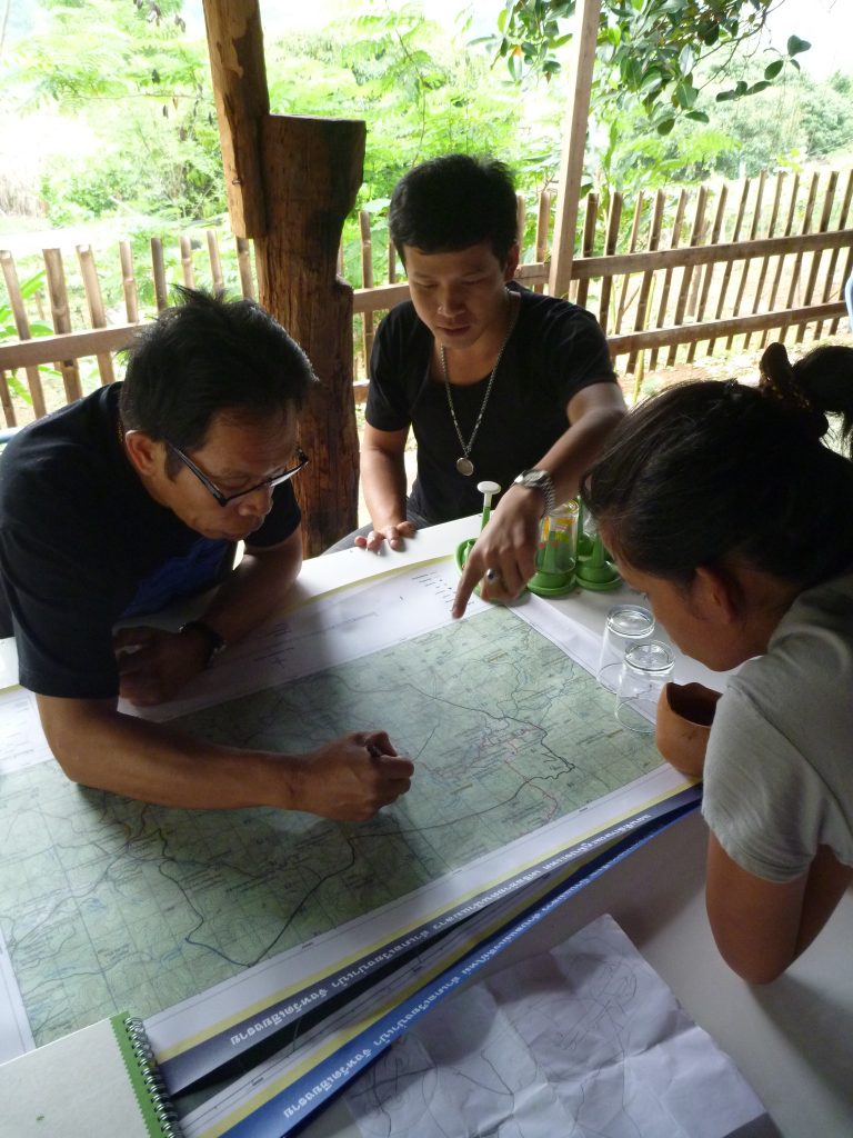
The Lao River Basin Network developed their water resources management system, rehabilitate upstream forest, and reduce disaster risk, by building 3,332 check dams, water storage system for 3,027 households (9,081 people) in 50 villages of 6 sub-districts, plant over 7,000 seedlings (70% local and 30 industrial crops), and build more than 200 km length of a firebreak for the upstream forest. The network monitors the water situation and early warn the affected people. With the focus on the continuation of this development, the network has involved “La-On-Hug-Nam-Lao” or Youth Conserves Lao River Basin Group to apply S&T as a tool for data collection, water information report, situation report, and disaster surveillance network.
The Lao River Basin Network conserved and rehabilitated their soil-water-forest resources by recording background information, building check dams, trapping sediments, shifting cultivation method from monoculture to agroforestry following the “Three Forests for Four Benefits” concept, linking firebreaks in the upstream forest, and rehabilitated upstream forest over 350,000 Rai (560 sq.km.) by building 2,800 check dams in 308 creeks and implementing agroforestry concept.
Firebreaks 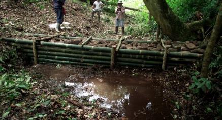
Check dams 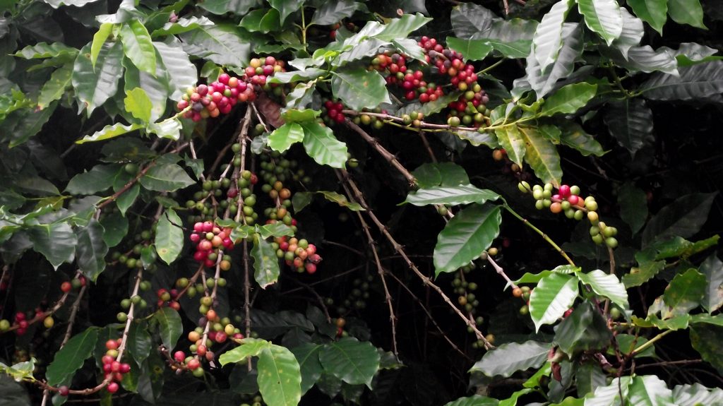
Rehabilitated upstream forest with “Three Forests Four Benefits” concept 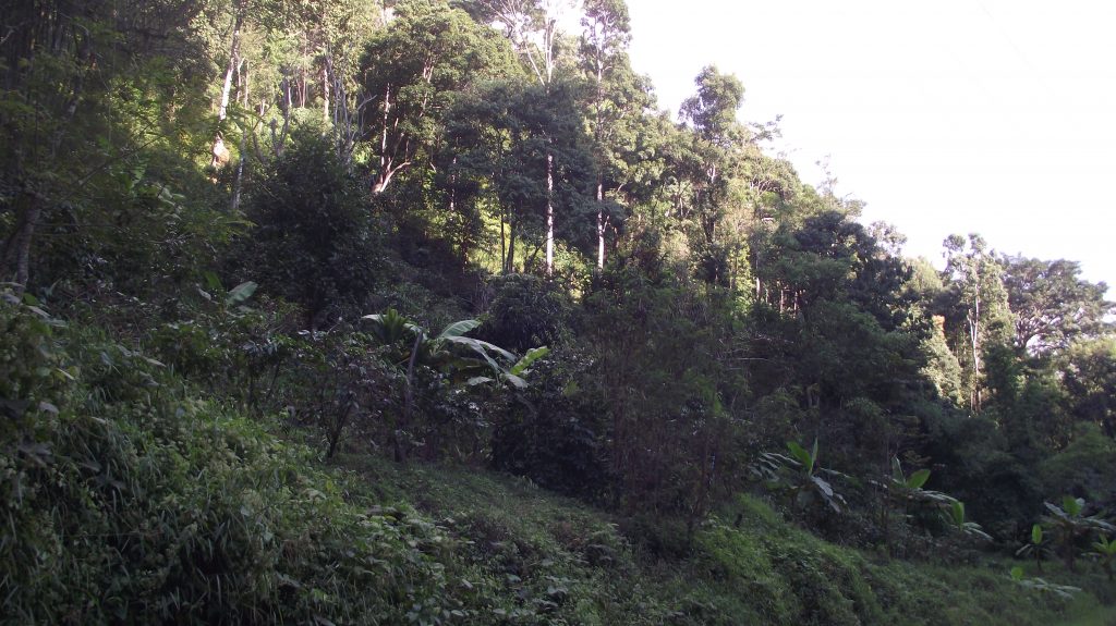
Rehabilitated upstream forest with “Three Forests Four Benefits” concept
Besides, the network has developed a water system for consumption and agriculture including check dams, water storages tank, and purifier systems for drinking. Total 25 households have shifted their cultivation practice from monoculture to agroforestry and later expand to 180 households. The returned rehabilitated forest resulted in an increase of 252,000 THB/year of average household income, and a decrease of 54,000 THB/year of household expenditure on average.
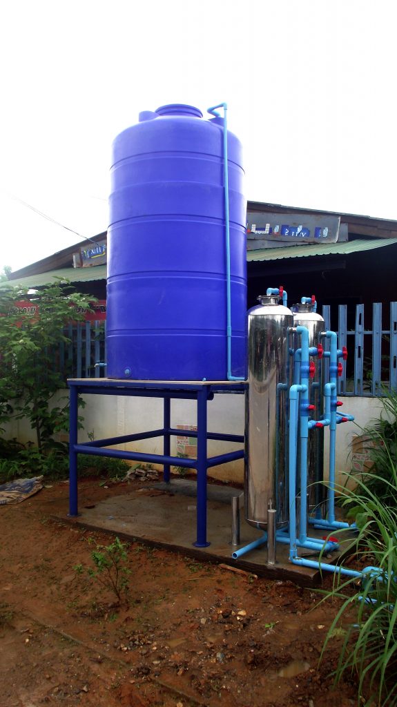
The household water system for drinking and consumption 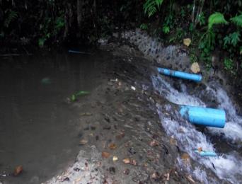
The household water system for drinking and consumption
Disaster Monitoring Network – the community installed weather monitoring equipment e.g. signal tower, staff gauges, automated telemetry stations, with a continuous record and analysis.
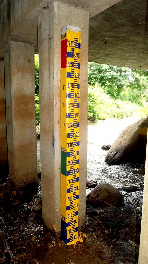
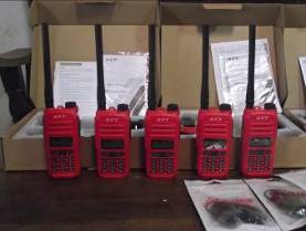
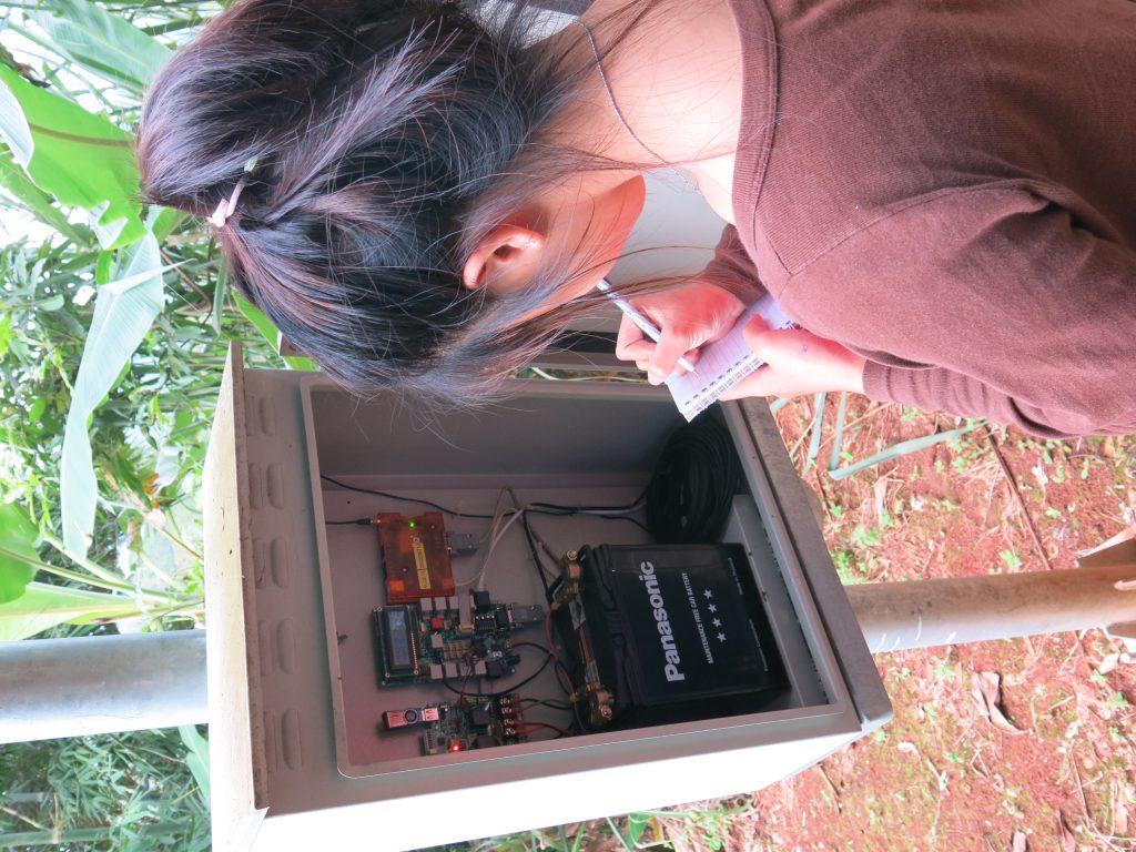
Disaster monitoring and data collection
Create 3-phase Disaster Management Plan as follows:
Pre Disaster: preparation and planning e.g. situation monitoring, create check dams, firebreaks, plant trees to prevent landslides in the rainy season
During Disaster: prompt response by evacuating people to the assigned assembly point as fast as possible and collaborate with other relevant agencies e.g. Sub-District Administration or Civil Defence Volunteer for help and further cooperation
Post Disaster: rehabilitation phase firstly by the community network, then link with relevant stakeholders
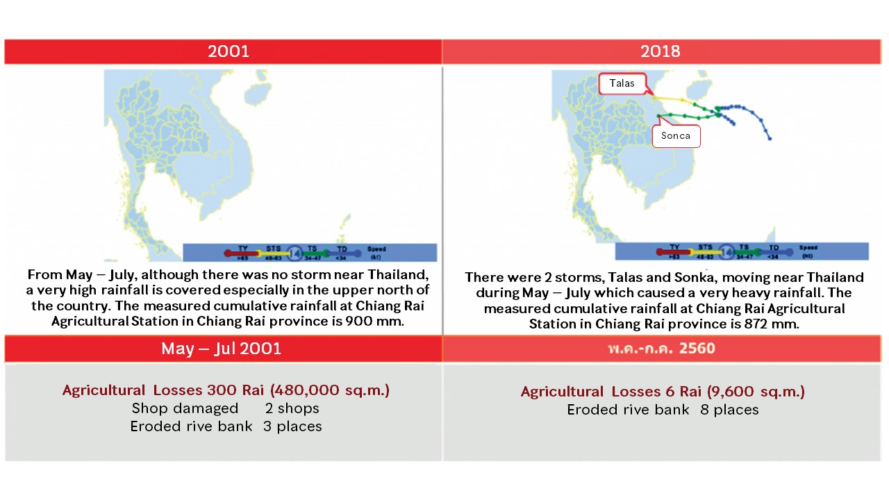
Comparison of losses from flashflood in the Lao River Basin Network
Normal situation 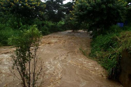
Flashflood
Comparison between normal and flashflood situation