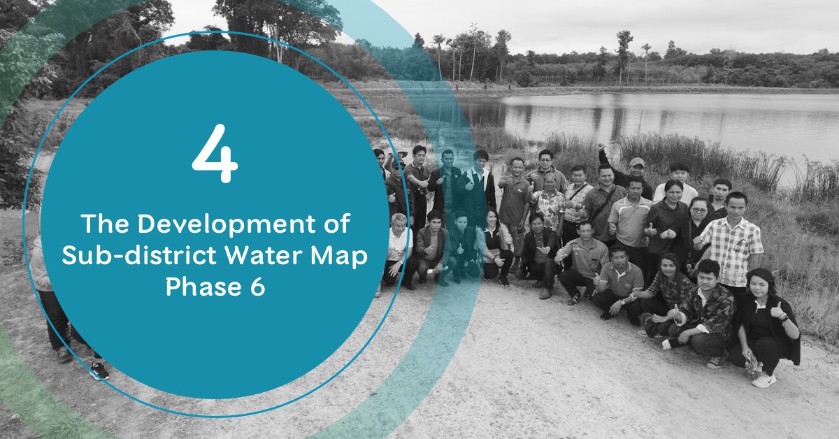
2018: The Development of Sub-district Water Map phase 6
08/04/2020
HII has collaborated with the local administrations to establish Water Map in sub-district level by apply science and technology to collect and update precise water resources information. The integrated information will be linked with medium and small scale irrigation data in rain-fed area. Through the project, local administration officer will learn and develop their capacity in using geographic information technology and the use of local context in water resources management to systematically solve water resource problem.
From 2012 – 2017, HII has supported and created sub-district water map for 2,949 sub-districts and expanded its network to cover 19 river basins. These sub-district networks will be a centre for expansion to the nearby sub-district. In 2017, HII has expanded their collaboration to National Farmers Council and Provincial Administrative Organization Council of Thailand in order to facilitate the work in 5 basins.


Progress
- The Development of Geo-informatics for Water Resources Management to build capacity and transfer of technology to local administrative officers and National Farmers Council by organizing a workshop on “Basic QGIS for Water Resources Management at Local Level” to enhance their understanding on the use of map, Quantum GIS (QGIS) program, and create sub-district water map


2) From Sub-district Water Map to Water Resources Development Planning – HII has continuously collaborated with local administrative to enhance their understanding and transfer of knowledge in the implementation of geo-informatics for water resources management, the use of modern surveying technology, and integrated water resources development plan together with neighboring area to move forward to the same direction.


Location: Huay Phi Thu Reservoir Project, Huay Phi Thu Watergate, and beneficial area